Canada, One Step at a Time
Spanning more than 28,000 kilometres, the Trans Canada Trail weaves together landscapes, cultures, and communities across every province and territory.


When people hear “Trans Canada Trail,” some might picture something daunting: a wild, unbroken stretch of wilderness, meant only for seasoned hikers with ultralight packs and months to spare. It sounds more like an epic quest than something most Canadians might use on a weekend walk.
But that image leaves out the real story.
⇓
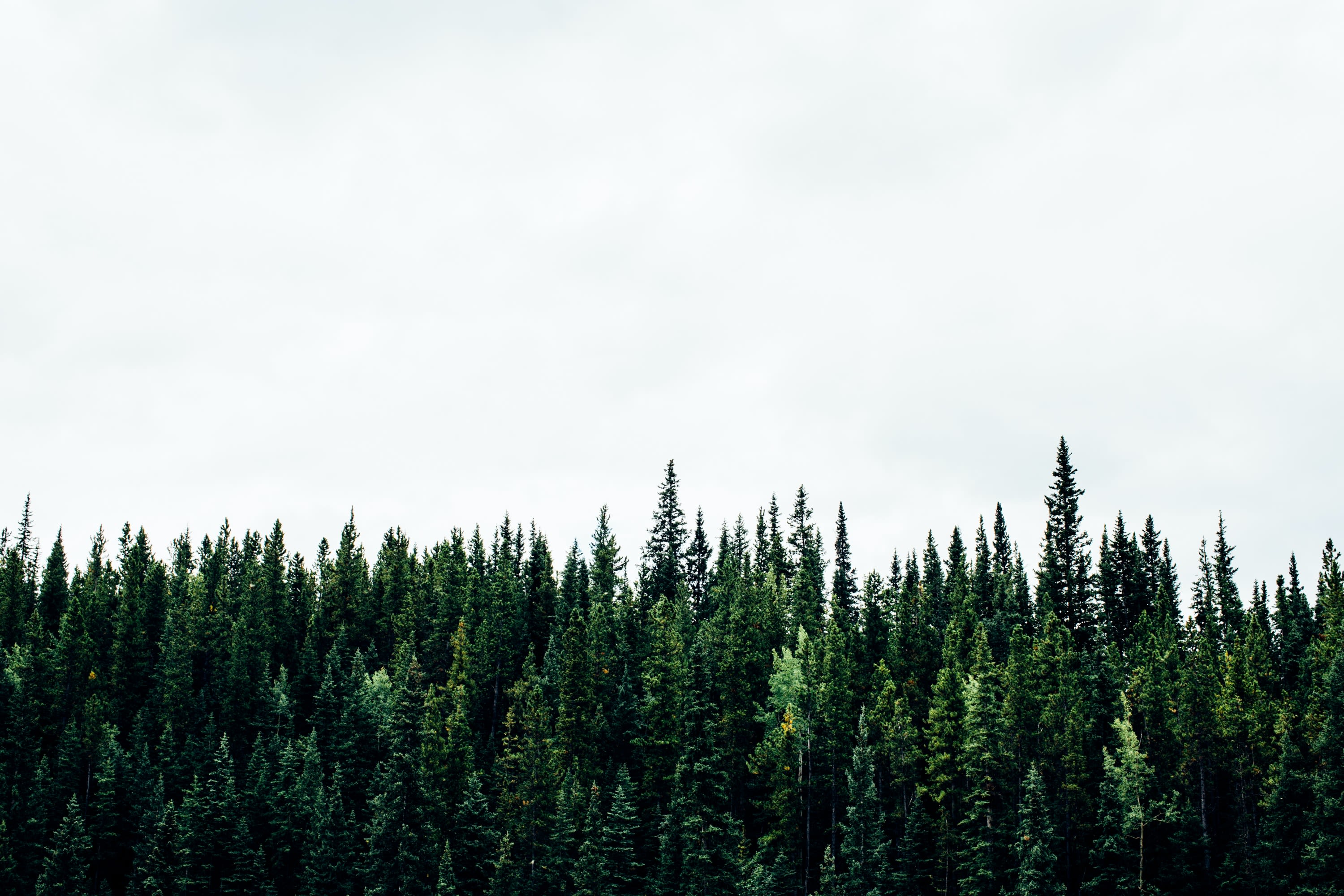
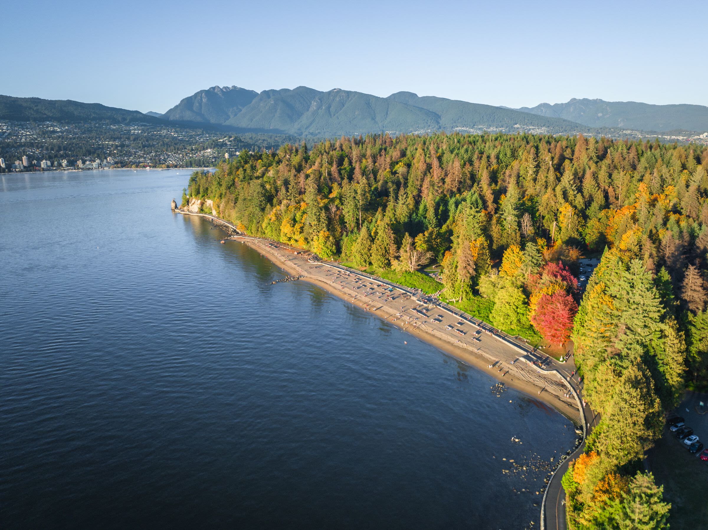
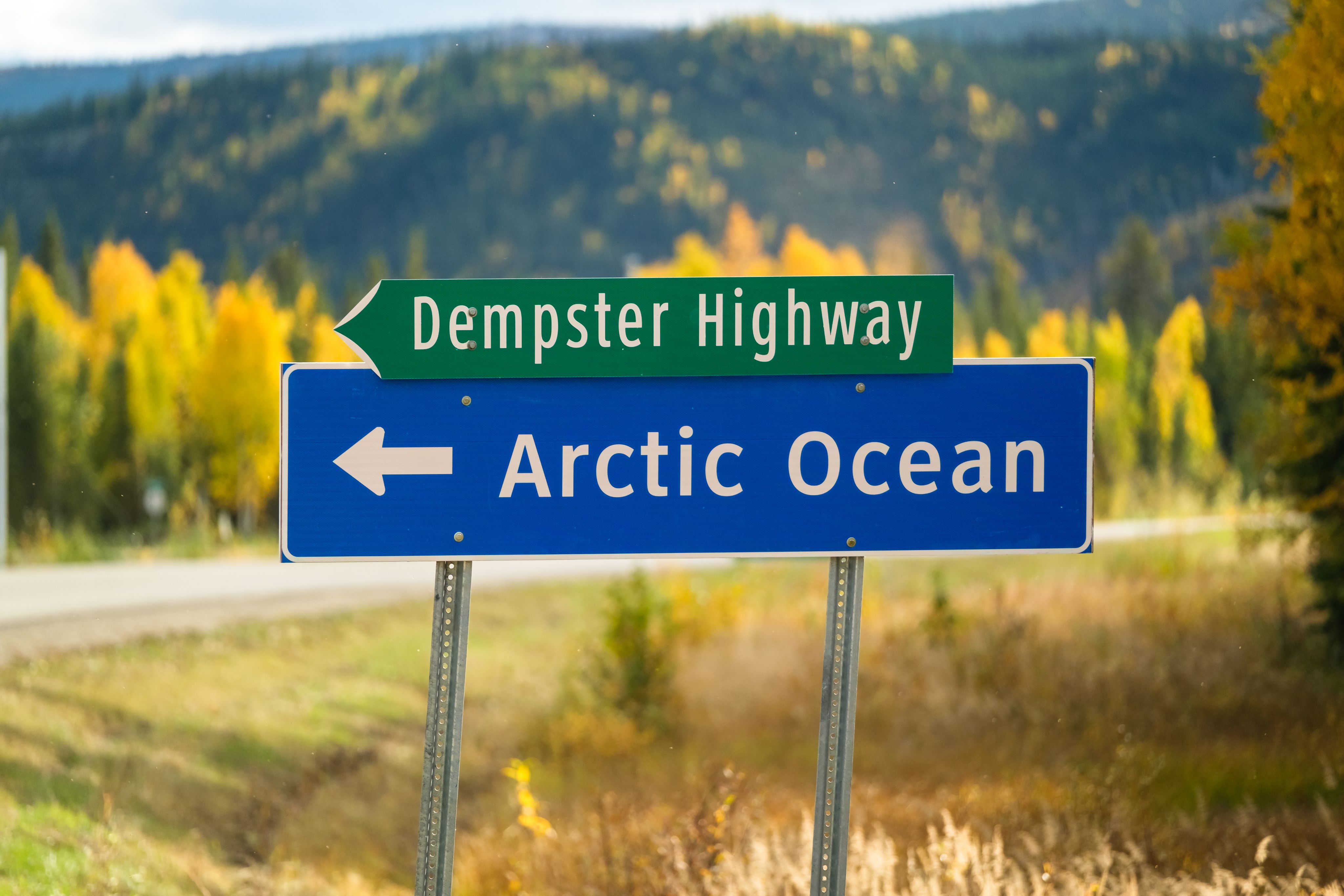
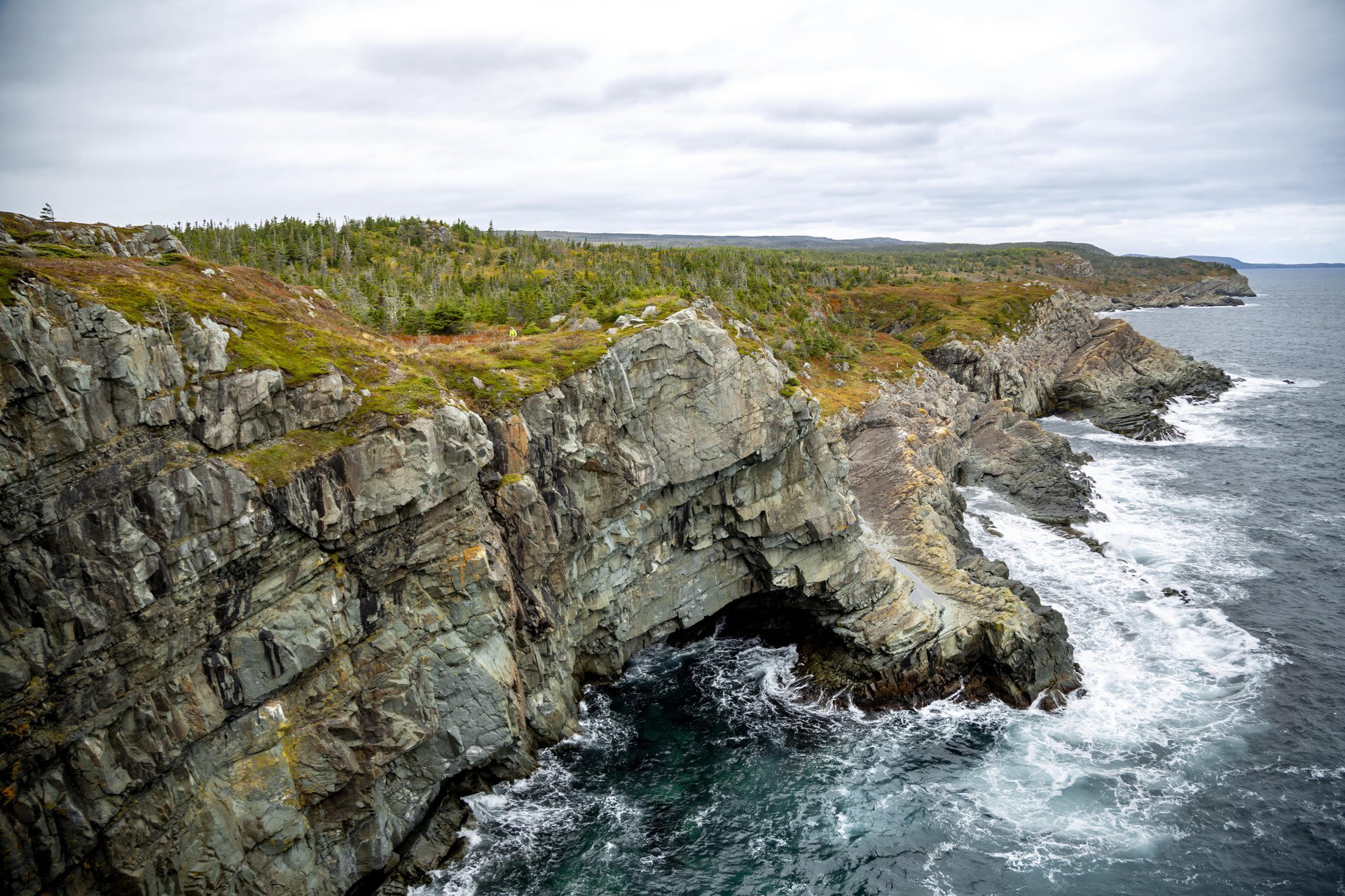
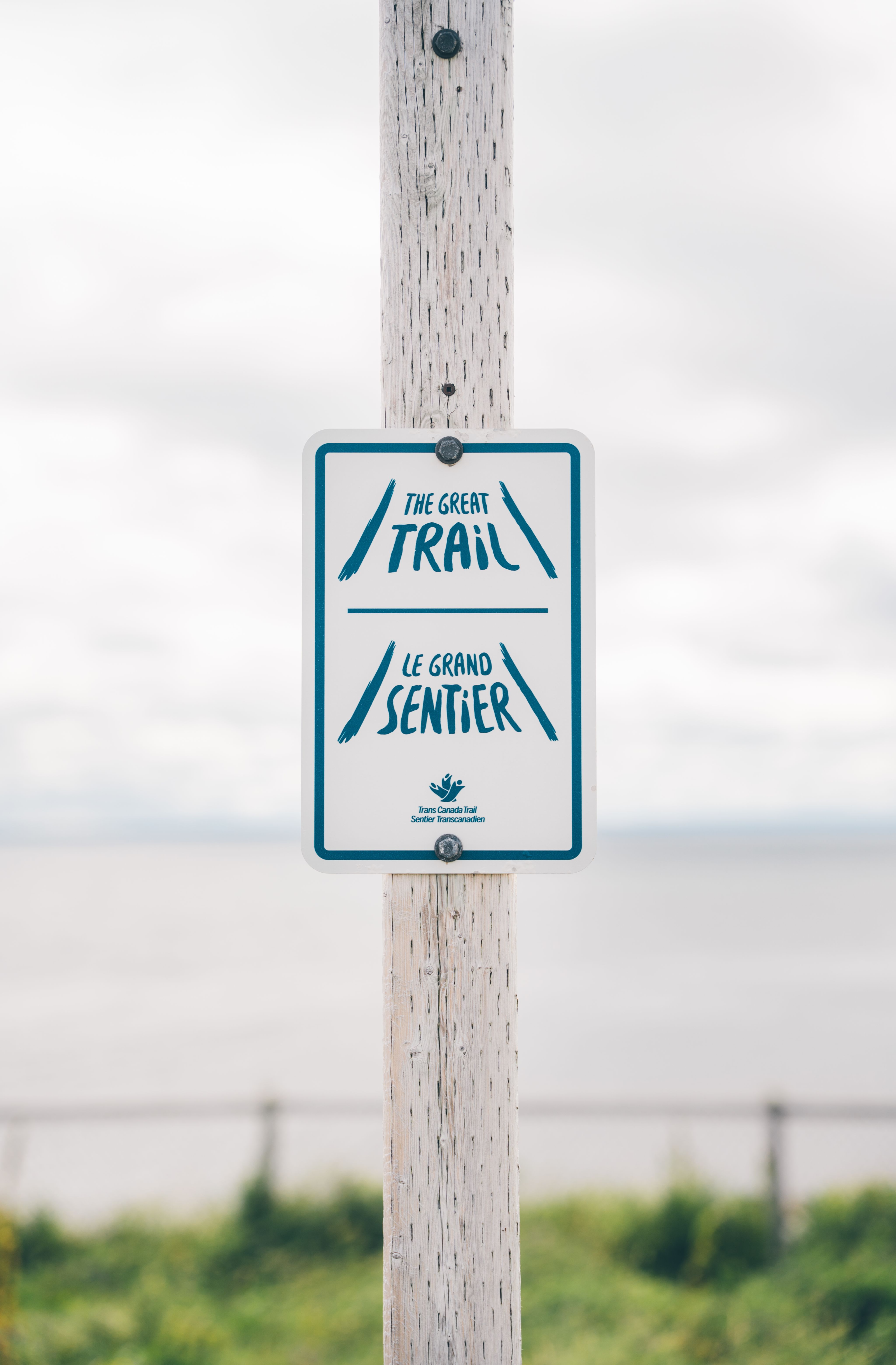
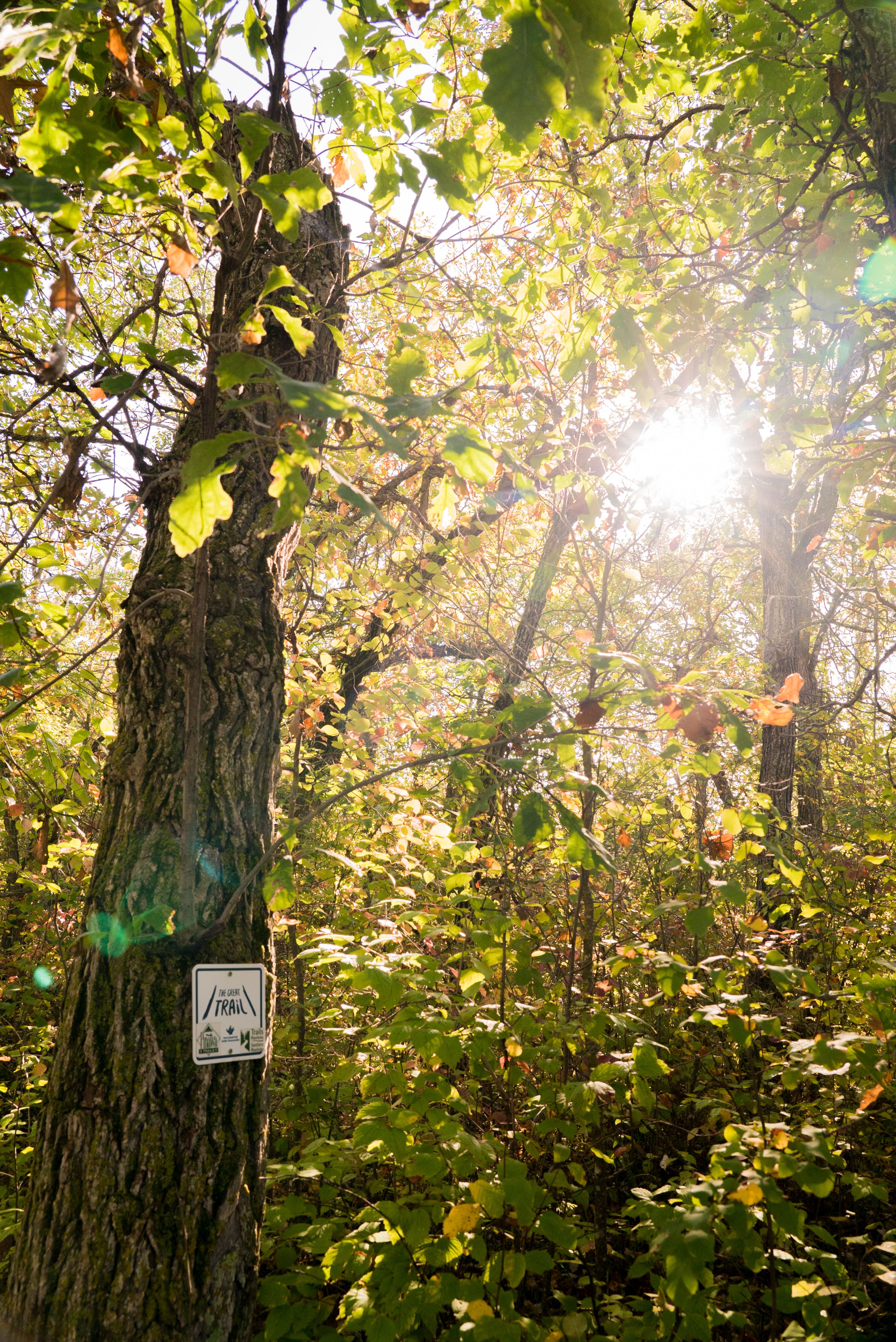
The Trans Canada Trail, also known as The Great Trail, isn’t a single path or a wilderness trek. It’s a connected network, the longest of its kind in the world, spanning more than 28,000 kilometres across the country. From the salty air of the Atlantic to the rainforest-clad Pacific to the icy waters of the Arctic, the trail weaves through every province and territory, linking cities, towns, parks, and quiet stretches of nature.
And it’s meant to be used — not just by long-haul adventurers, but by families with strollers, commuters on bikes, paddlers in canoes, and anyone looking for a stretch of fresh air close to home.
Four out of five Canadians live within 30 minutes of the trail.


The idea for a cross-country trail was first proposed in 1992, as a way to celebrate Canada’s 125th anniversary. The goal was ambitious: to connect Canadians to each other and to the land through a national trail network.
Over three decades later, that vision has taken shape. Today, more than 15,000 communities across all 13 provinces and territories are linked, including 400 Indigenous communities, as well as numerous national historic sites and nature parks.
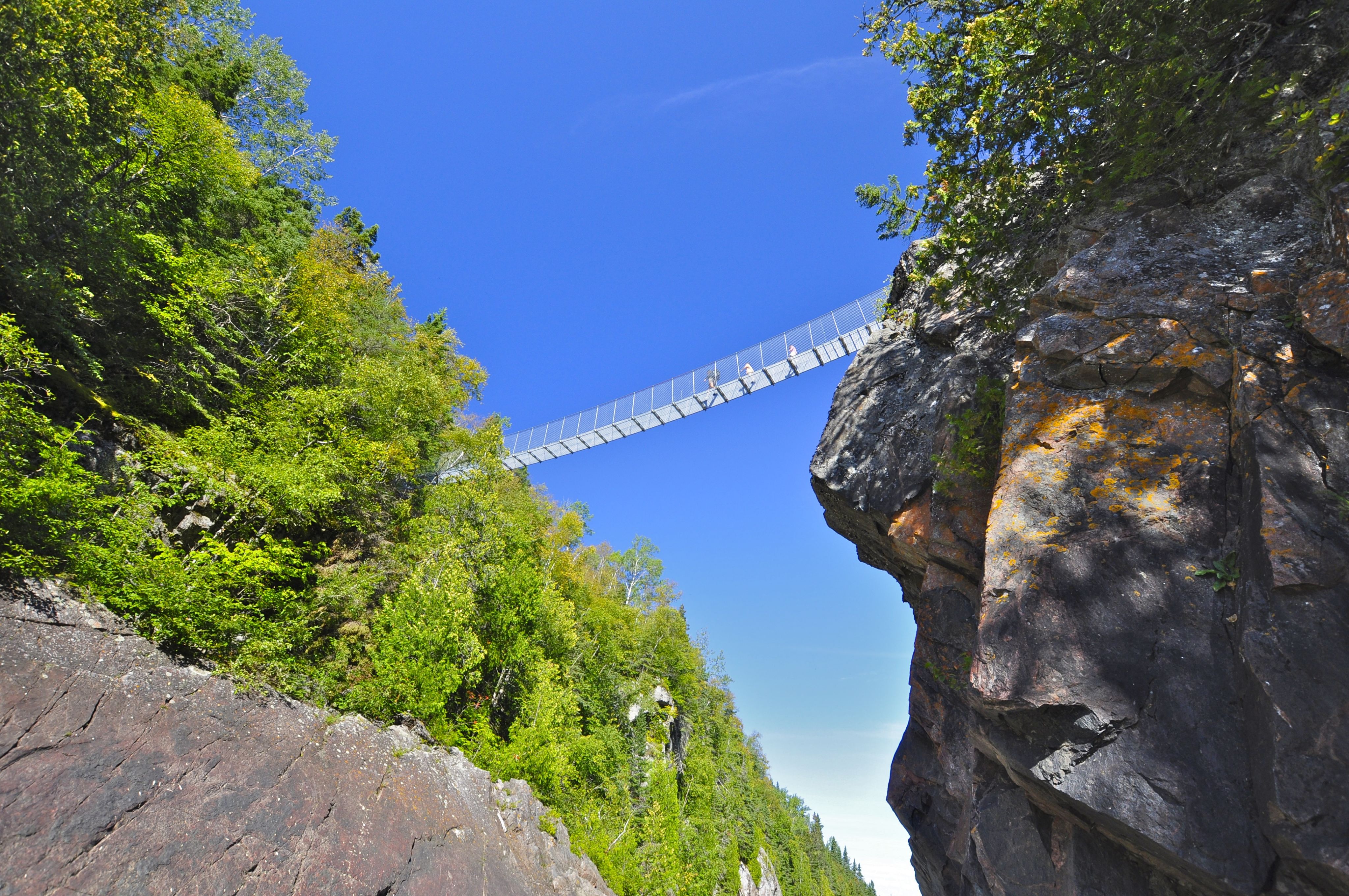
The trail is a patchwork of different segments: greenways, rail trails, roadways, and waterways. Some parts wind through remote boreal forest or along dramatic coastlines; others run through downtown cores, past cafés, playgrounds, and office buildings. It’s a national trail that doesn’t remove you from daily life; it often threads right through it.
And it’s constantly evolving. New sections are being added, gaps are being closed, and trail communities are working to ensure the route is as inclusive and connected as the country it represents.


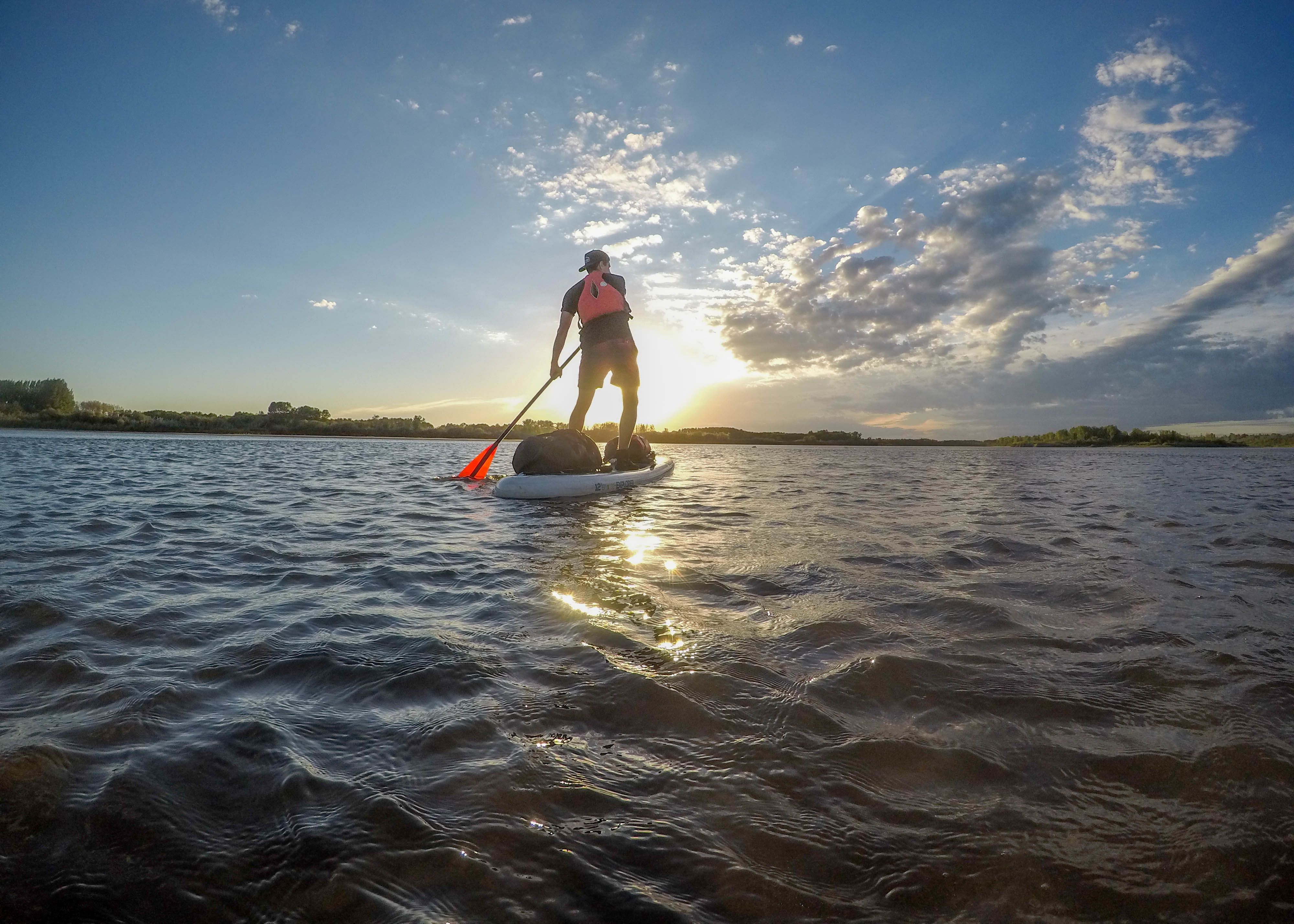

The Trans Canada Trail is not just for hikers. Depending on the region and season, trail users might be walking, running, cycling, paddling, skiing, snowmobiling, or horseback riding. Many sections are built to be accessible to people using mobility devices, and in urban areas, the trail often runs alongside bike lanes, transit stops, and community parks.
Some people do take on long-distance journeys, but most use the trail in small pieces, in everyday ways. A lunchtime jog. A weekend paddle. A walk to the farmers’ market.
It’s a shared resource, designed to meet people where they are.

At 28,000 kilometres, the Trans Canada Trail is too big to fully grasp. Stretched out, it could circle the entire circumference of Mars and then some.
But that’s not the point. You’re not meant to walk the whole thing. You’re meant to enter (and exit) wherever you are.
For some, that might mean a month-long journey. For others, a twenty-minute stroll. Every kilometre is part of a larger thread — a ribbon of trail that ties together a country known more for its distances than its connections.
You don’t need special gear, and you don’t need to travel far. The trail is already there, often closer than you think.
Canada. Crafted by Canadians.