National Parks Of The Northwest Territories
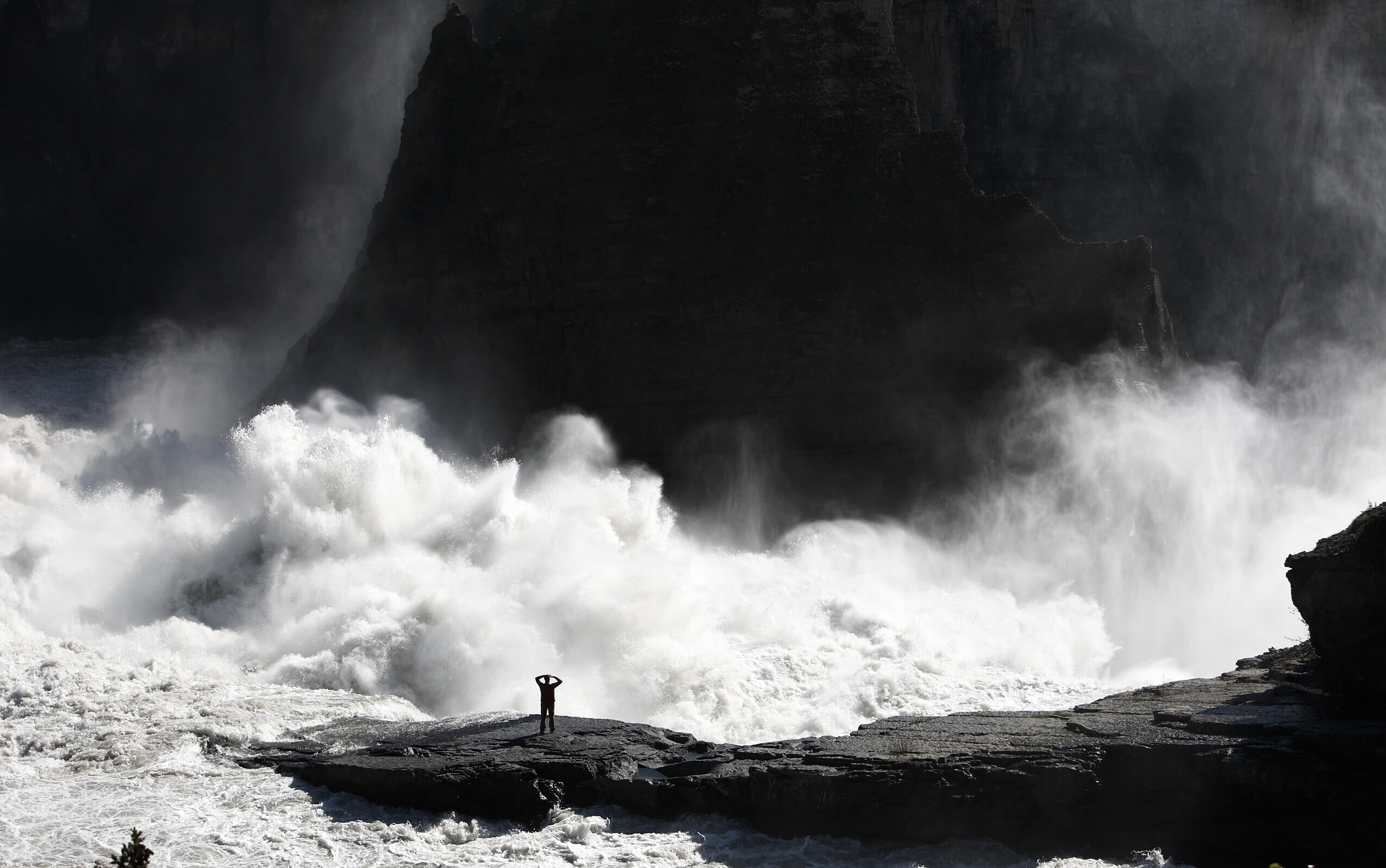
Mist of Náįlįcho (Virginia Falls). Red chairs at viewpoint. Nahanni National Park Reserve. Photo c/o Parks Canada / Rob Stimpson
Boasting incredible natural beauty, abundant wildlife and a rich cultural heritage, the Northwest Territories is an adventure traveller’s paradise. The sparsely populated territory covers more than one million square kilometres, a little more than one-tenth of Canada’s total land mass.
This is a land of contrasts, where the long, dark winters give way to short but intense summers with a sun that rarely sets. From the rugged peaks of the Mackenzie Mountains to the rolling tundra of the Arctic, the landscapes here are as diverse as they are breathtaking.
One way to experience the NWT’s natural beauty is through its six national parks — vast wilderness areas home to plunging waterfalls, mountainous peaks and wild rivers. Read on below for a look inside each of these spectacular wilderness parks and see what makes them so unique.
Ready to visit the Northwest Territories? Browse our NWT getaways.
Thaidene Nëné National Park Reserve:
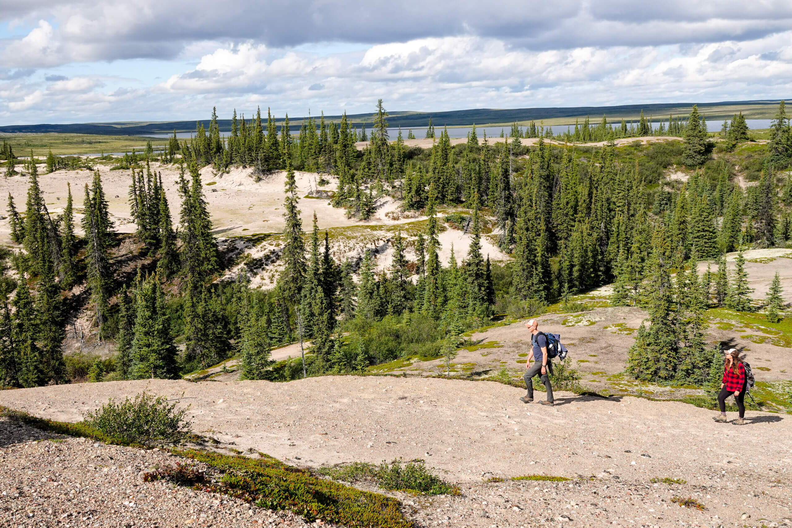
Hiking at Pike’s Portage in Thaidene Nene NPR. Photo by Kyle Van Delft, c/o Parks Canada
It may be Canada’s newest national park, but the wonders of the land on which the Thaidene Nëné National Park Reserve sits have been known for millennia. Its name actually means “Land of the Ancestors” in Dënesułiné Yati, having been inhabited, loved and respected by the Dene people for generations.
The 27,000-square-km park sits on the East Arm of Great Slave Lake (Tu Nedhé), with a landscape that is made up of subarctic boreal forests, spectacular waterways, windswept Arctic plains and the Canadian Shield. It can be explored from Łutsel K’e, a scenic Chipewyan Dene community accessible by air or boat or, in the winter months, by snowmobile. While there are no roads into the park, local guides from the First Nations communities have established eco-tourism within the park via boat or plane.
The park provides vital habitat for barren-ground caribou, as well as bears, muskox, moose, wolverine, lynx, wolves and migratory birds. Fish, such as Whitefish, Lake Trout and Northern Pike are abundant, making the Thaidene Nëné an angler’s paradise..
Experience the Thaidene Nëné on this amazing 5-day Wilderness Retreat.
Take a look at some of the park’s amazing landscapes:
Hiking in Thaidene Nene NPR. Photo byLaani Uunila, c/o Parks Canada

Wildlife watching musk ox in Thaidene Nene NPR. Photo by Danielle Thompson, c/o Parks Canada

Hiking in Thaidene Nene NPR. Photo by Laani Uunila, c/o Parks Canada
Tuktut Nogait National Park:
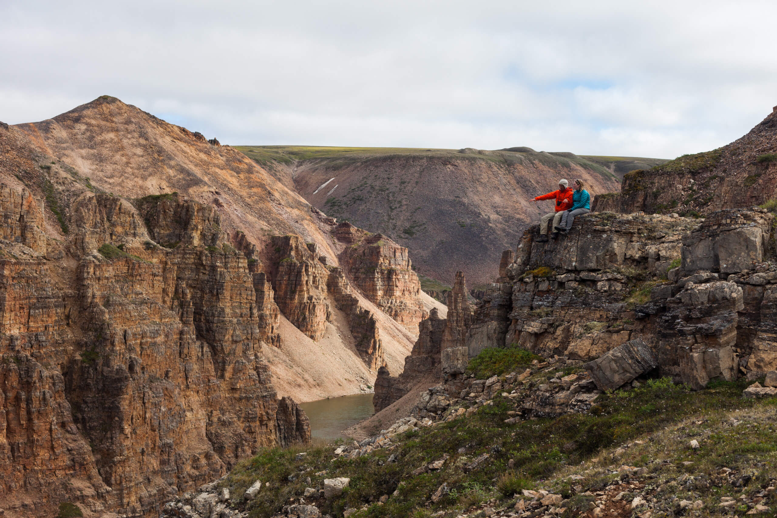
Visitors in the canyons of the Tuktut Nogait National Park. Photo c/o Parks Canada / Charla Jones
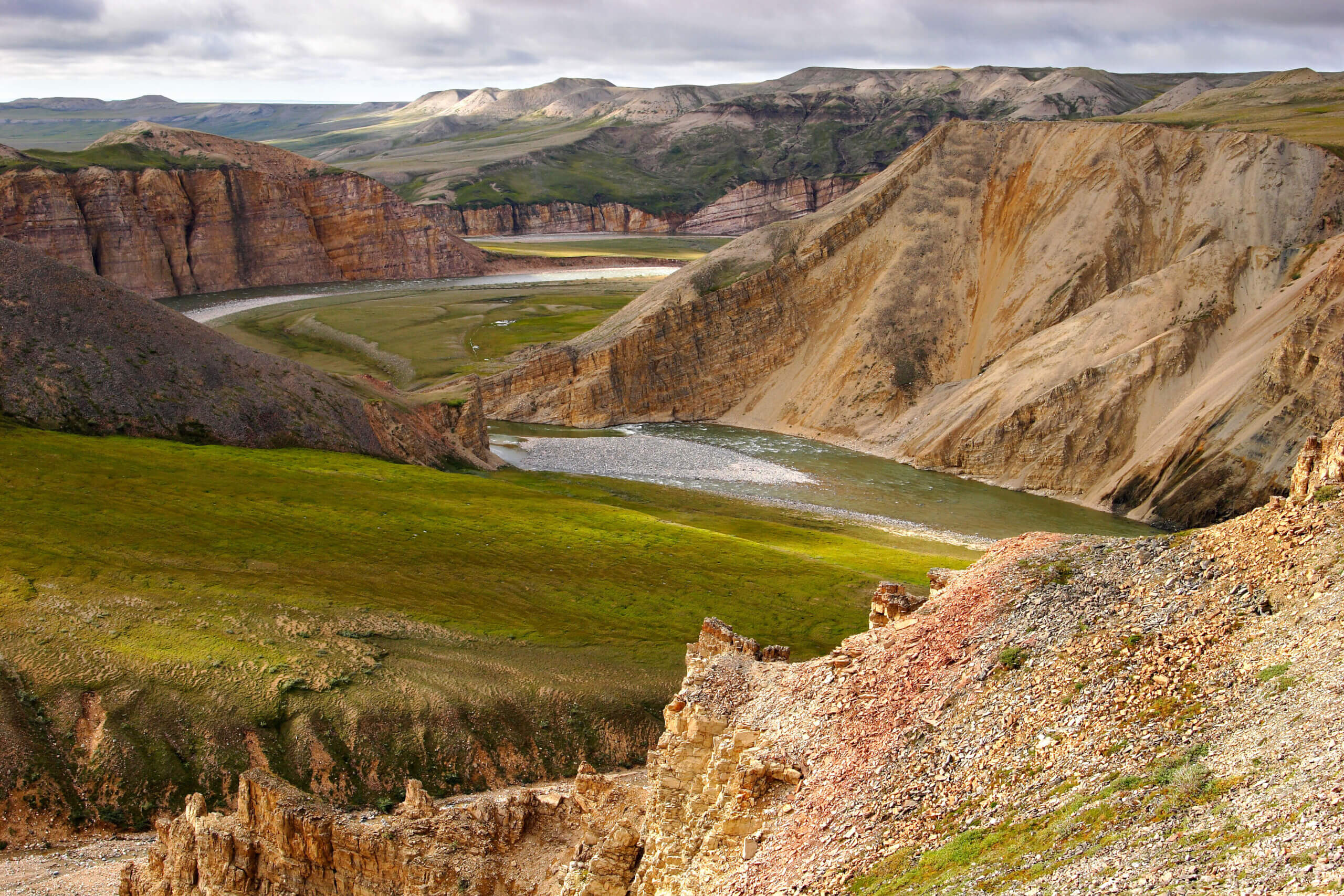
Tuktut Nogait National Park is one of the most remote parks in the world, tucked up in the northern part of the Northwest Territories on the edge of the Arctic Ocean. Accessible only by charter plane, the 18,000 square km of wilderness that makes up the park does not see many visitors (between 2-21 most years).
Located 170 km above the Arctic Circle, Tuktuk Nogait enjoys two months during the summer when the sun does not set and two months in winter where it does not rise. The landscape is characterized by rolling tundra and a near constant wind.
The name Tuktut Nogait means ‘young caribou’ in Inuvialuktun and the park is named in honour of the migratory herd of Bluenose West caribou that returns here each spring to give birth. It is this calving ground that sparked efforts by the Inuit of the nearby community of Paulatuk to push for permanent protections for this area by way of national park.
While the park is renowned as the core calving and post-calving grounds of the caribou, it also provides vital habitat to a wide variety of other mammals and migrating birds.
Wildlife found in the vast expanses of tundra, rolling uplands and lowlands and deep canyons of the park include muskoxen, grizzly bears, red foxes, wolves, collared lemmings, arctic ground squirrels and wolverines. The steep cliffs of the river canyons are a favourite nesting ground for raptors, such as the peregrine falcons and golden eagles.
Recent surveys of the park have revealed more than 360 archaeological sites throughout the park going back to 1000 AD. Visitors to the park can often come across these ancient cultural sites — such as tent rings, rock alignments or hunting blinds — when travelling along the river corridors. Three major rivers run through the park’s rolling tundra — the Hornaday, Brock and Roscoe — and empty into the Amundsen Gulf in the Beaufort Sea of the Arctic Ocean.
Here are a few photos to give you a taste of the landscape:
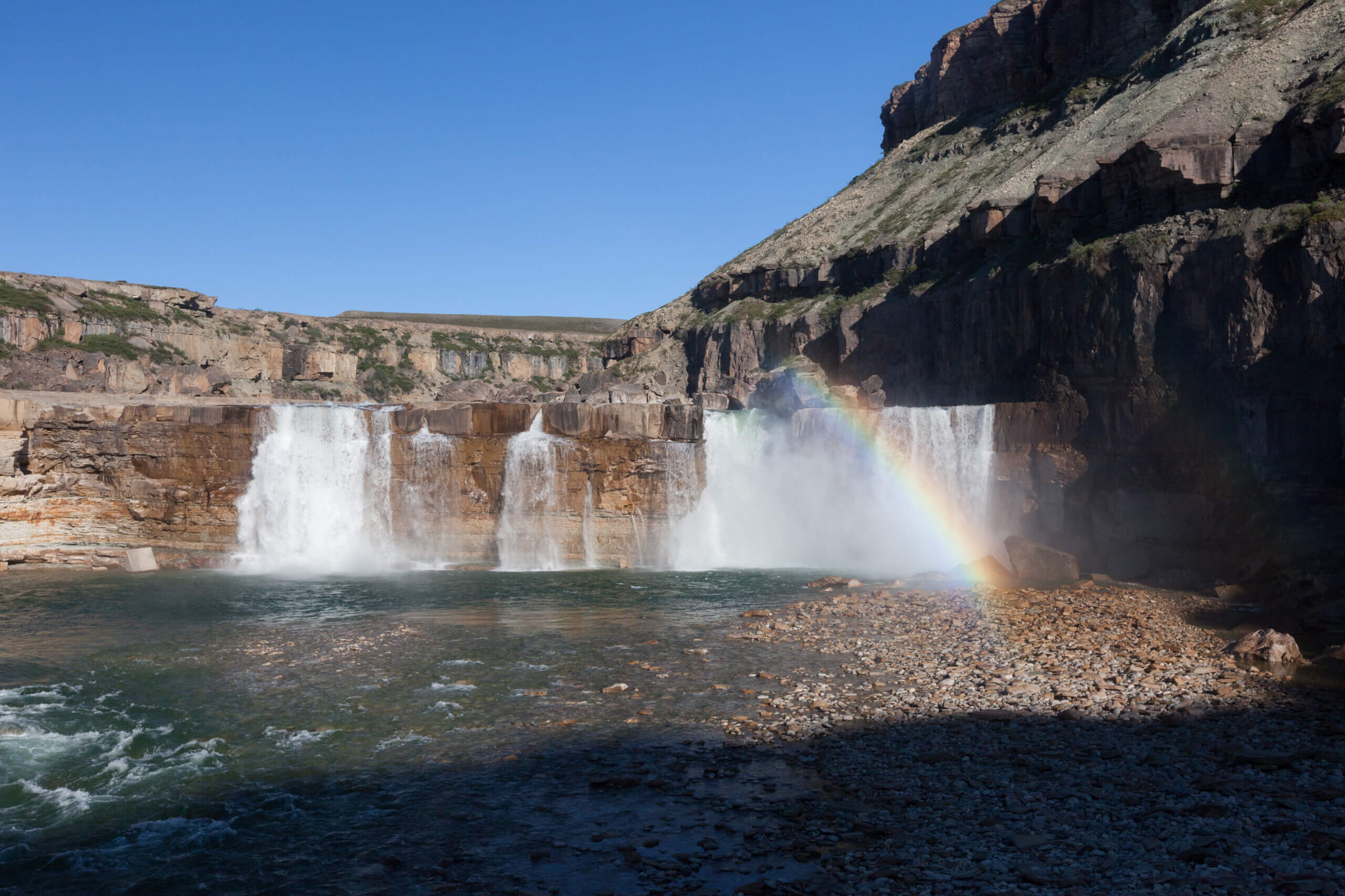
The 23-metre-high La Roncière falls, located in the northwest part of the park along the Hornaday River, is one of the park’s most photographed features. Photo c/o Parks Canada / Charla Jones
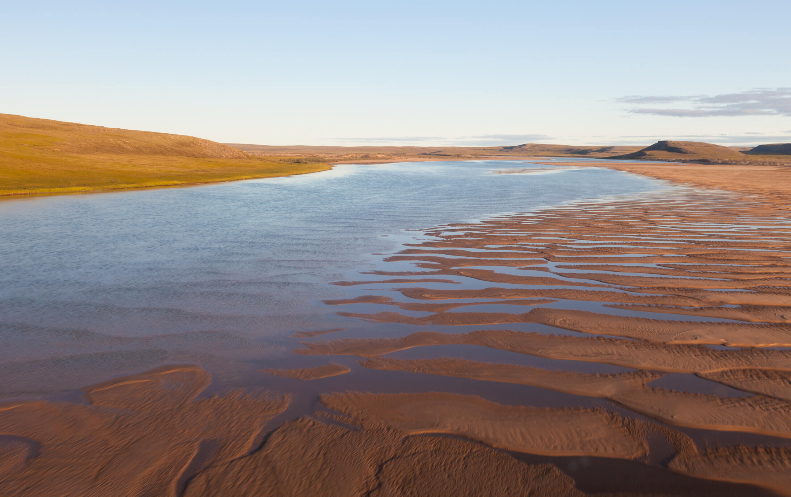
Delta and Hornaday Sand Dunes in Tuktut Nogait National Park. Photo c/o Parks Canada / Charla Jones
Brock River in Tuktut Nogait National Park. Photo c/o Parks Canada / Markus Siivola
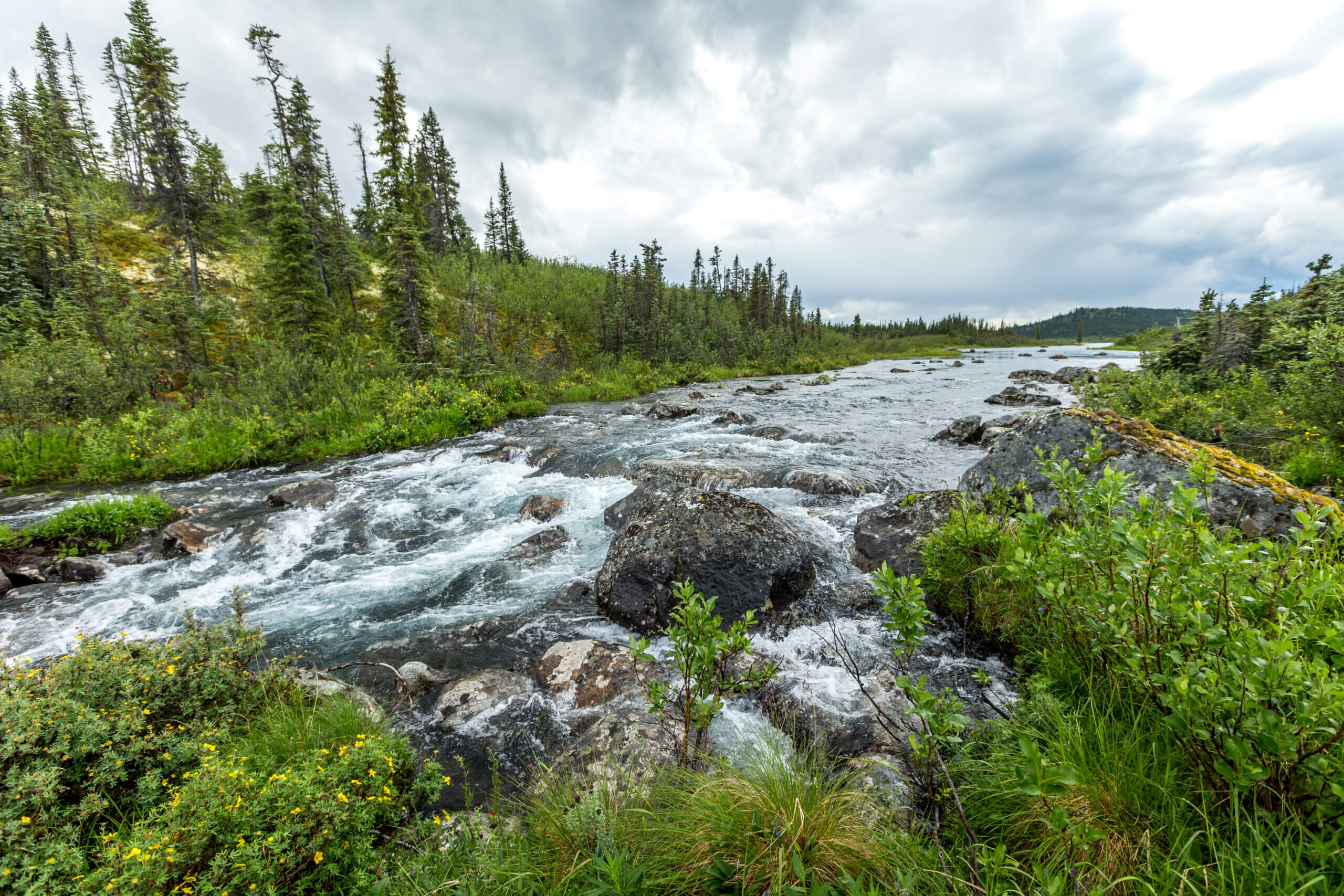
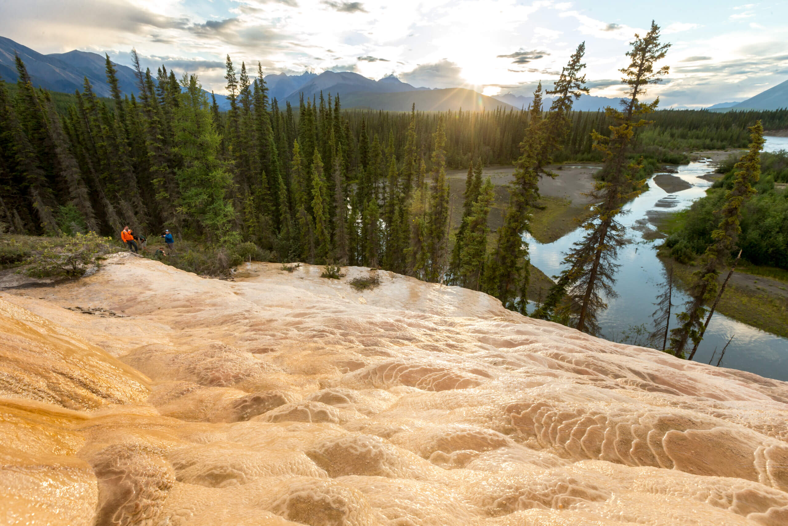
Nááts’ihch’oh National Park Reserve:

Photo c/o Parks Canada / Christian Boucher
The 5,000-square-km Nááts’ihch’oh National Park Reserve is a place of unruly rivers, mountains with sharp jagged peaks and landscapes that defy the imagination. Perched in the southwest corner of the Territory, near the border with the Yukon, Nááts’ihch’oh translates to “the mountain that’s sharp like a porcupine.”
Most visitors to the park (and there aren’t many on an annual basis) come for the paddling. The park encompasses a few famously fun paddling routes including the upper South Nahanni river’s “rock garden” (with 50 — yes 50 — kilometres of continuous rapids) as well as the 150-kilometre Broken Skull river with its “friendly” whitewater rafting opportunities.
Wildlife in the park include woodland caribou, grizzly bear, Dall’s sheep and mountain goats.
Here are a few photos of the stunning landscape:
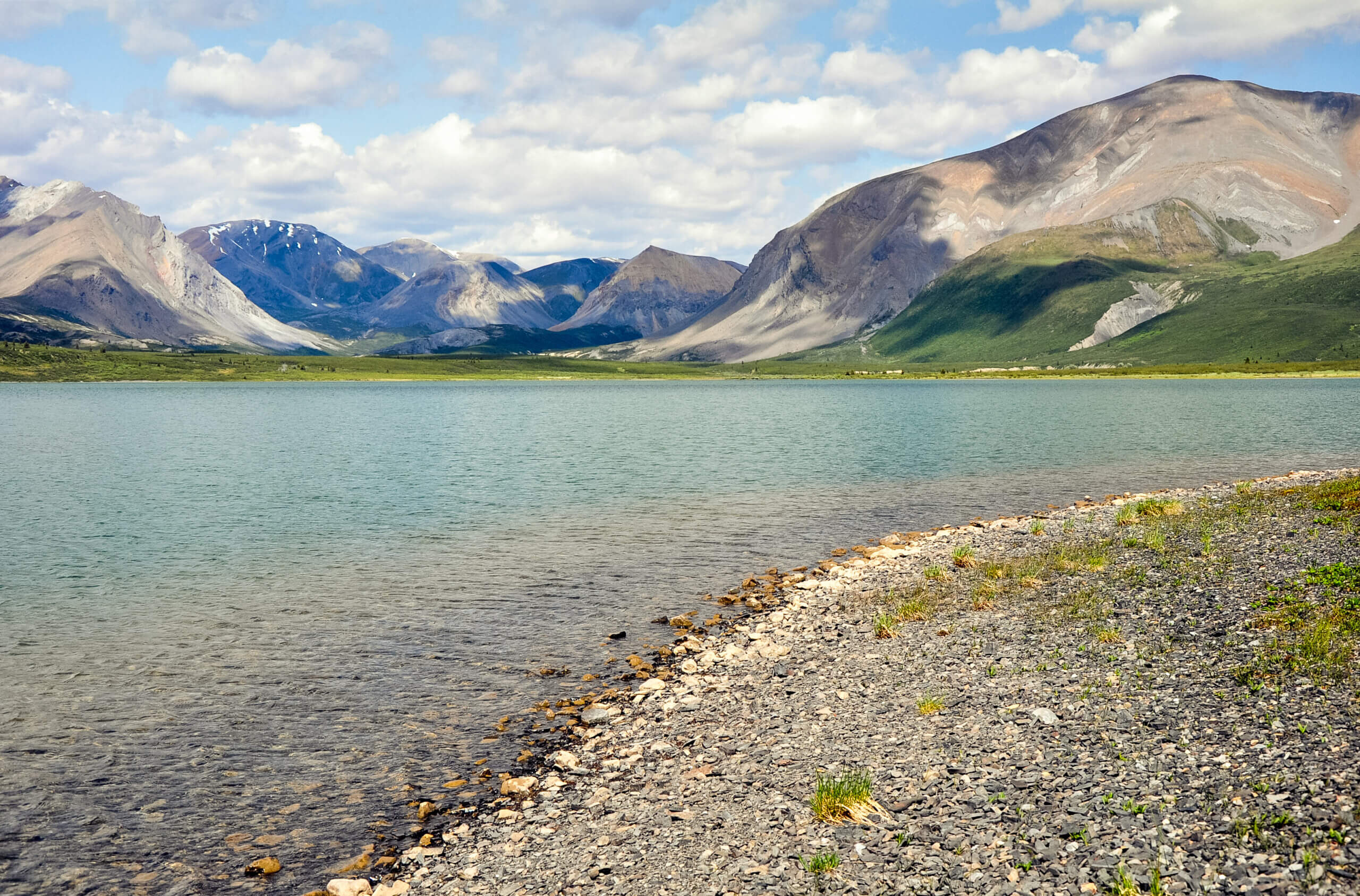
Photo c/o Parks Canada / Christian Boucher
Creek flowing out of Margaret Lake. Photo c/o Parks Canada / Fritz Mueller
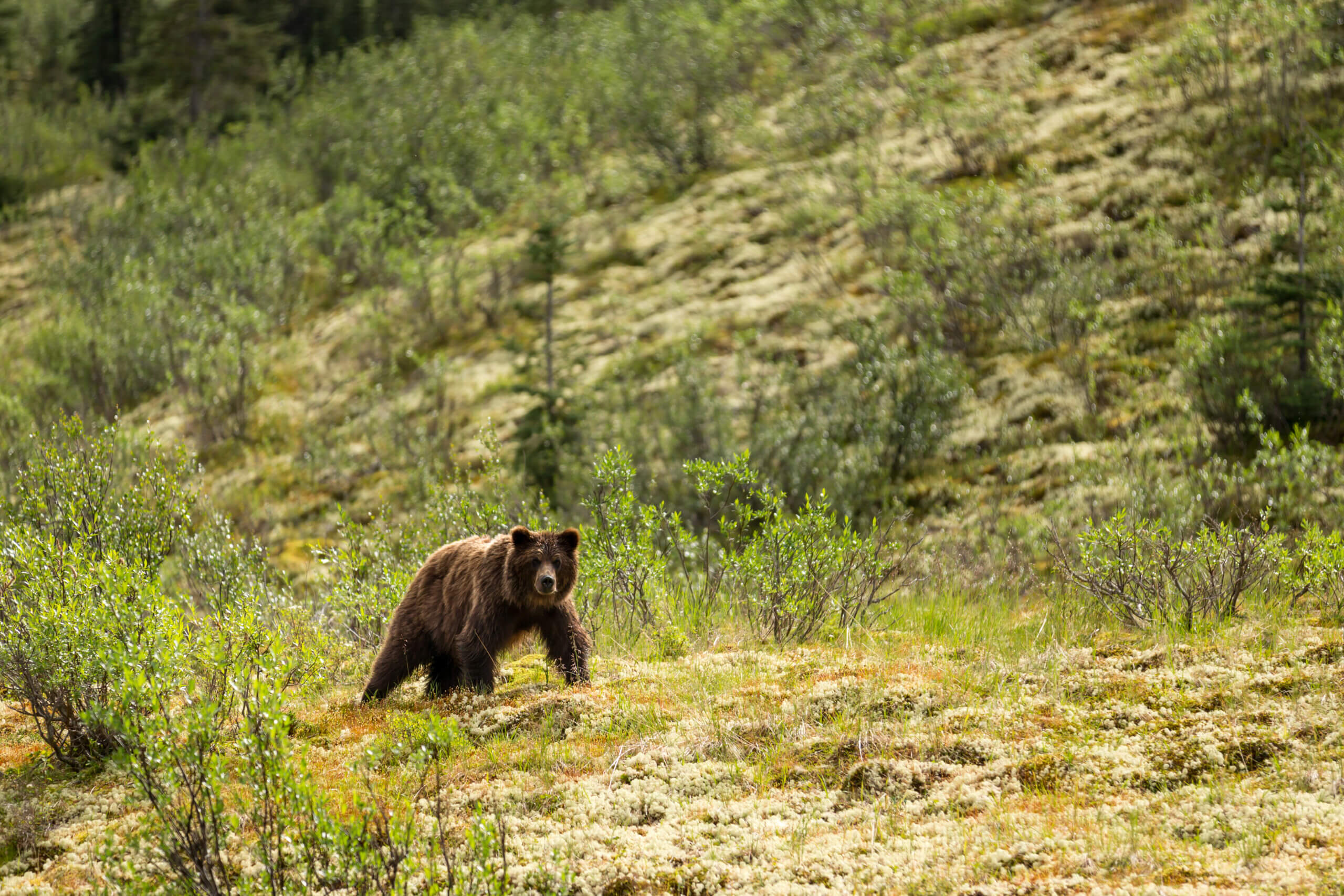
Photo c/o Parks Canada / Fritz Mueller

Broken Skull river. Photo by Colin Field c/o NWT Tourism
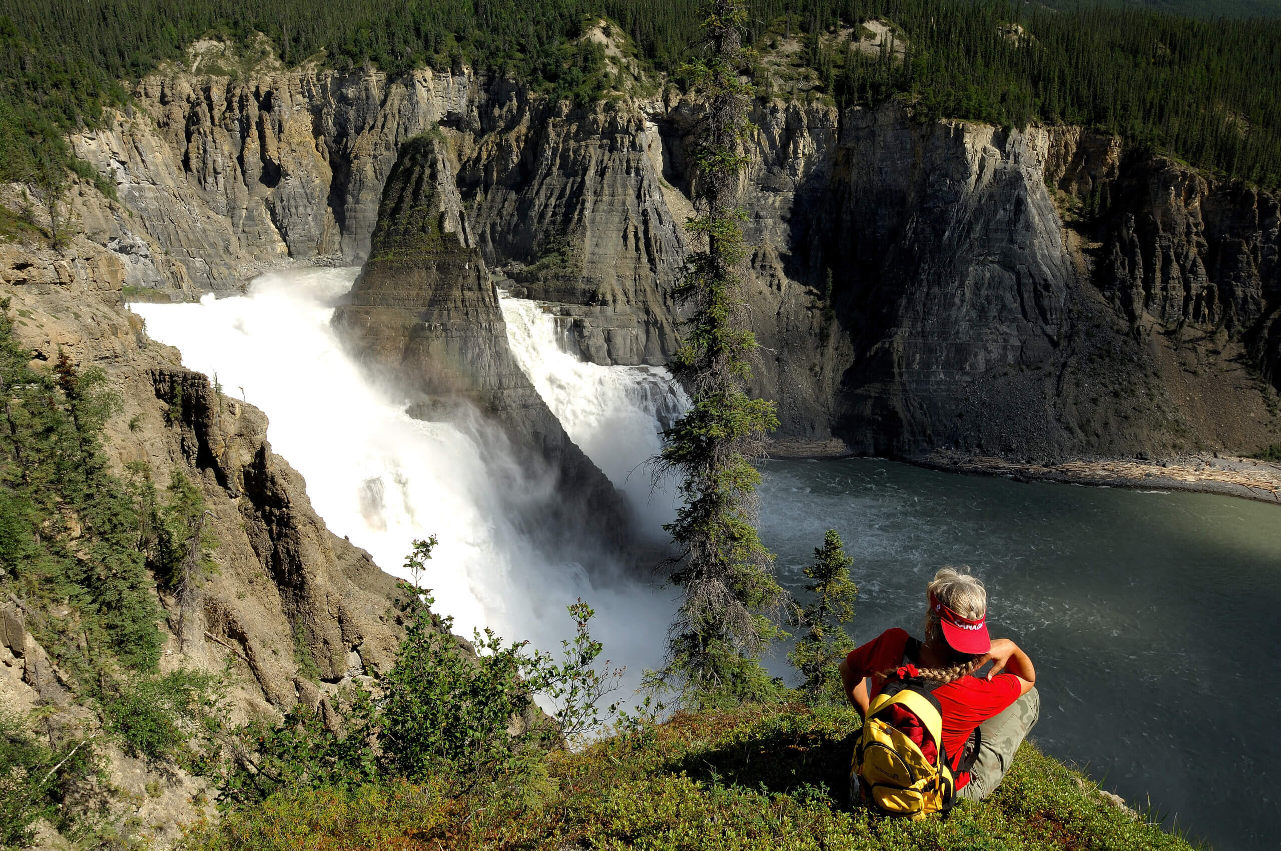
Nahanni National Park Reserve:

Aerial view of Mount Ida, Brintnell Creek and Glacier Lake near the Cirque of Unclimbables. Nahanni National Park Reserve. Photo c/o Parks Canada / Fritz Mueller
Nahanni National Park Reserve is the Northwest Territories most well-known national park, offering visitors a glimpse into some of the most stunning and untouched wilderness areas in the world. From the tall granite spires of the Cirque of the Unclimbables to the breathtaking Náįlįcho (also known as Virginia Falls), Nahanni National Park Reserve is a sight to behold. It encompasses 30,000 square kilometres, all of which is designated as a UNESCO World Heritage Site.
At its heart is the South Nahanni River, a spectacular wild river surrounded by deep canyons, huge waterfalls and a unique limestone cave system. The park is accessible on flight seeing trips from Fort Simpson as well as wilderness adventures that get you up close to some of the park’s most stunning sights.
Iconic spots in the park include the aforementioned waterfall that tumbles off a 96-metre cliff and the otherworldly peaks of Unclimbables surrounded at their base by the lush Fairy Meadow. But there’s also Ram Plateau (an enormous table of dolomite surrounded by the Mackenzie Mountains), the Rabbitkettle Tufa Mound (10,000 years old and the largest in Canada), the Sluice Box Rapids (an explosive rapid along the Nahanni River), the summit of the 1,450-metre-high Sunblood Peak (the park’s most famous hike) and so many more.
What are you waiting for? Discover the Nahanni and more on our Arctic VIP Adventure.
The Sluice Box Rapid. Photo c/o Destination Canada
The powerful Nàįlįcho (Virginia Falls) is twice the height of Niagara Falls. Photo by Hans Pfaff/NWT Tourism
Gahnįhthah Tufa Mounds, home of Yamba Deja the Horizon Walker, in Nahanni National Park Reserve. Photo c/o Parks Canada / Fritz Mueller
Fourth Canyon on the South Nahanni River just below Náįlįcho, in Nahanni National Park Reserve. Photo c/o Parks Canada / Fritz Mueller
Wood Buffalo National Park:
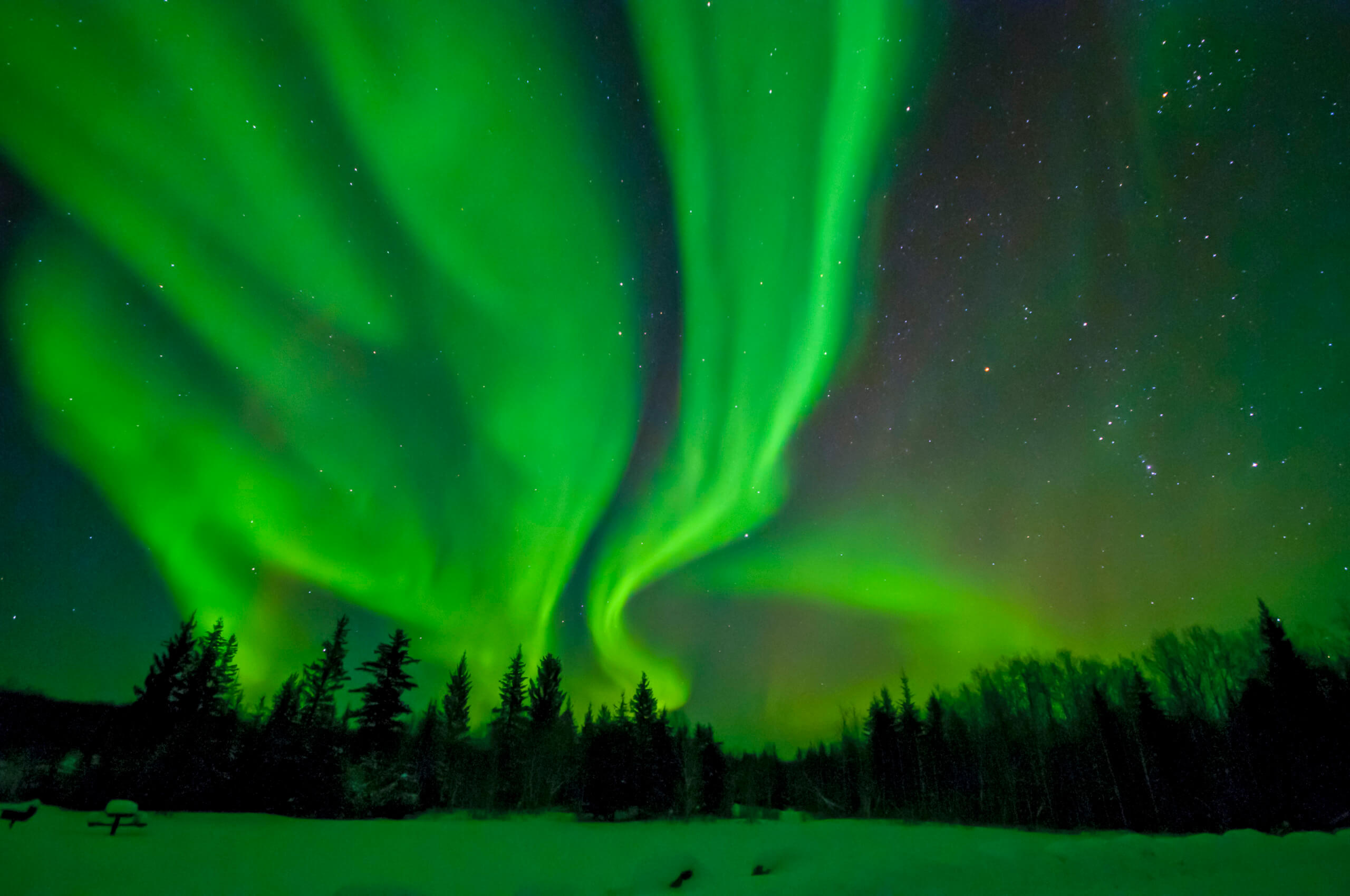
Aurora borealis over Wood Buffalo National Park. photo c/o Parks Canada / John David McKinnon
At nearly 45,000 square km, Wood Buffalo National Park is Canada’s largest park. It straddles the border between the Northwest Territories and Alberta, is accessible by road year-round and is also home to one of the world’s largest Dark Sky Preserves. Depending on the time of year, it is an excellent place for stargazing, viewing the Northern Lights, hiking, camping and getting away from it all.
The huge park, which sits on the traditional territory of the Dene, Cree and Métis, protects the habitat of the animal that bears its name: the big wood buffalo/bison. In fact, the large swath of the Northern Boreal Plains ecosystem that is protected within the boundaries of the park is home to the largest herd of wood bison in the world. But it is also a vital habitat for the dwindling population of whopping cranes and it showcases an extraordinary example of karst and caves. And let’s not forget about the cool salt plains that are created by salt minerals that bubble to the surface and are the remnant of an ancient sea bed.
Take a look at some of these awesome landscapes at Wood Buffalo:
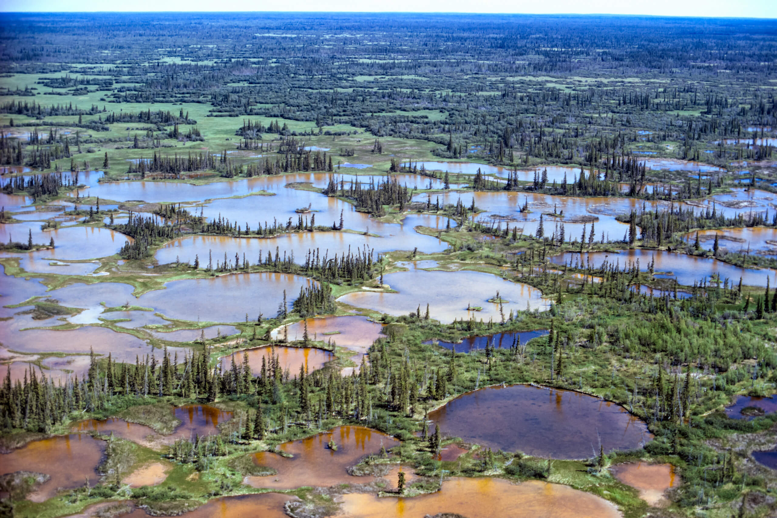
Delta marshes. Photo c/o Parks Canada / R.D. Muir
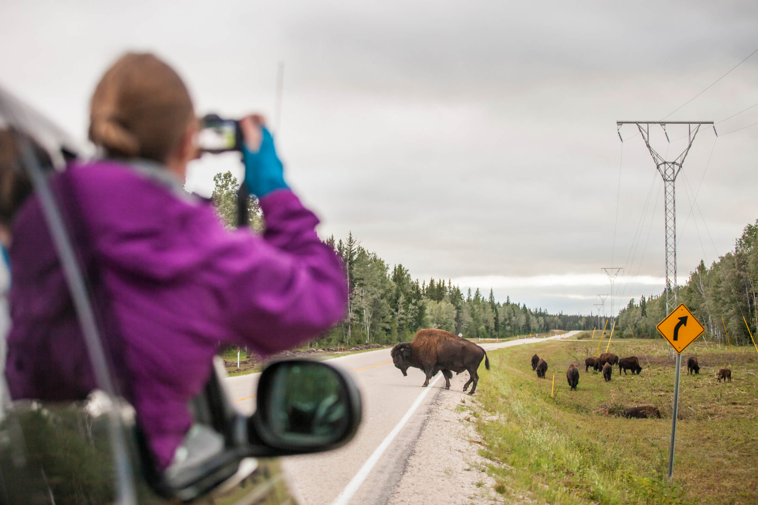
A visitor takes photos of Bison in Wood Buffalo National Park. Photo c/o Parks Canada / Charla Jones
Grosbeak Lake Wood Buffalo National Park. Photo c/o Parks Canada / Wayne Lynch
Aulavik National Park:
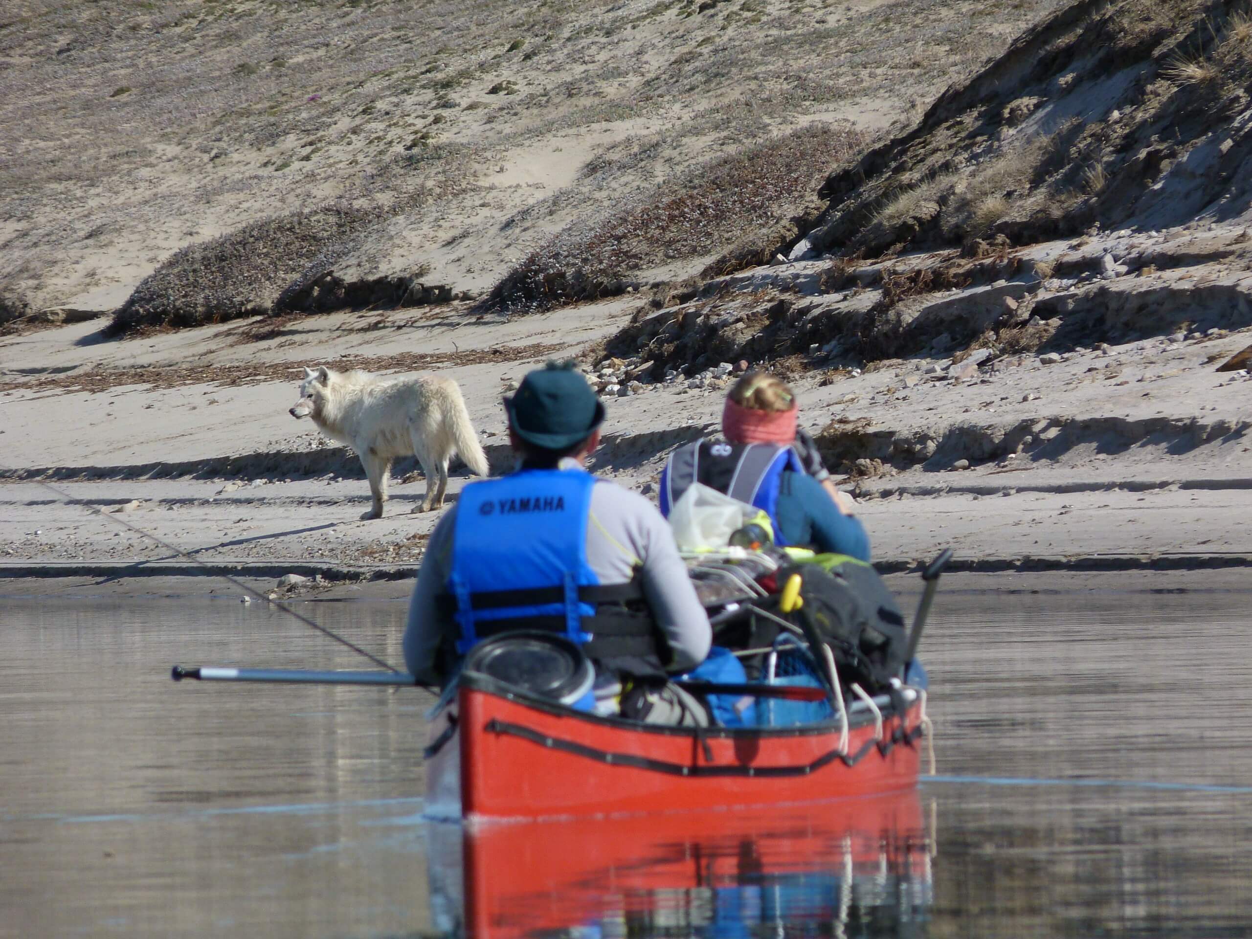
Photo c/o Parks Canada / Susan Kutz
One of the continent’s most isolated parks is the 12,000-square-km Aulavik National Park located on the north end of Banks Island in the northern reaches of the Northwest Territories. Surrounded by the waters of the Arctic Ocean, Aulavik is 600 km north of the Arctic Circle and only accessible by air.
The park’s summer landscape — when the sun shines for 24 hours straight — is one of brightly coloured wildflowers that cover the rolling lowlands. Visitors come to paddle the Thomsen, considered to be the world’s northernmost navigable river, fish the clean waters and see the park’s most famous residents, the muskox. Known as umingmak to the Inuit, the muskoxen are huge and more than 10,000 of them live in the national park, so visitors can expect to run into at least a few on any given visit.
Ready for an adventure in the Northwest Territories? Browse our NWT packages or contact us for a custom itinerary.