A Slice Of History: Following The French River
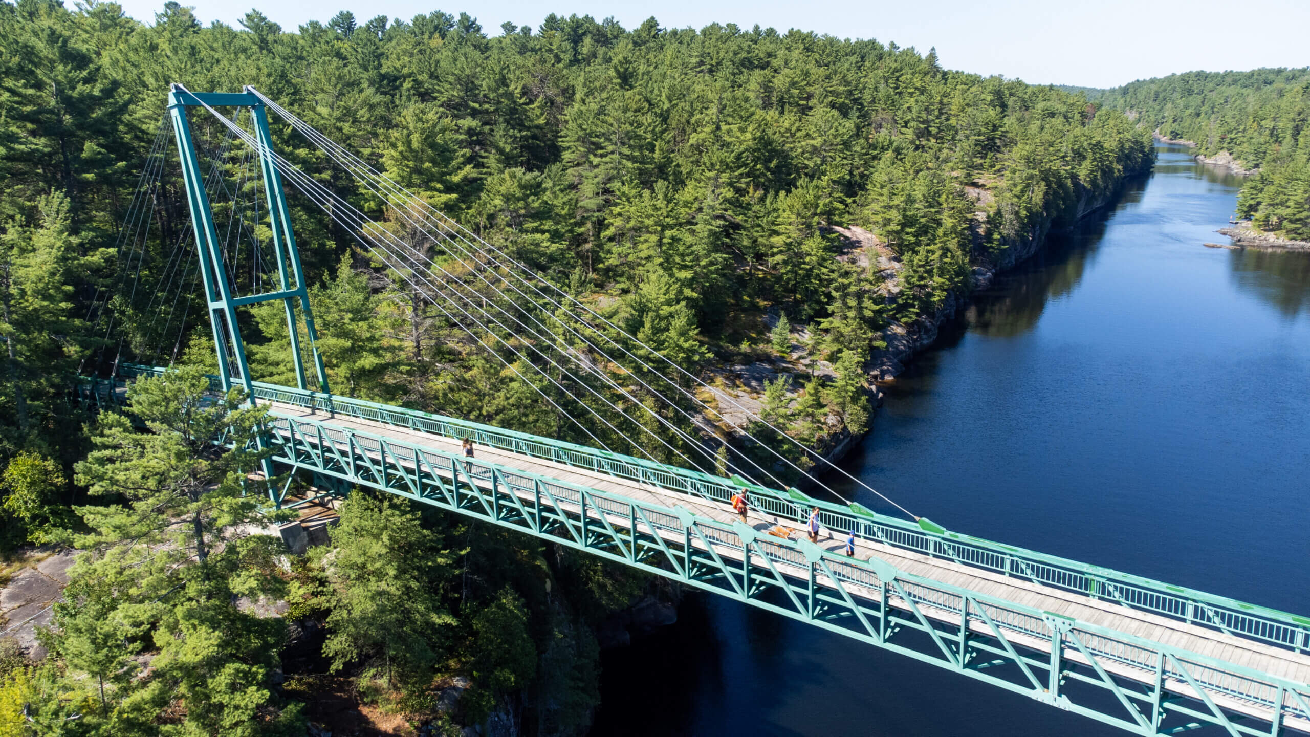
Snowmobile bridge over French River Gorge. Photo by Kasey Goodliffe c/o Ontario Parks
At first glance, Ontario’s 110-km-long French River might not seem any different from the other 100,000 km of rivers that flow throughout the province.
But this waterway, with its strategic location connecting Lake Nipissing to the Great Lakes, played a vital role in the history of this land. So much so, in fact, that it was the first river in Canada to receive the Heritage River designation back in 1986 and was protected soon after into a provincial park.
What’s so special about the French River?
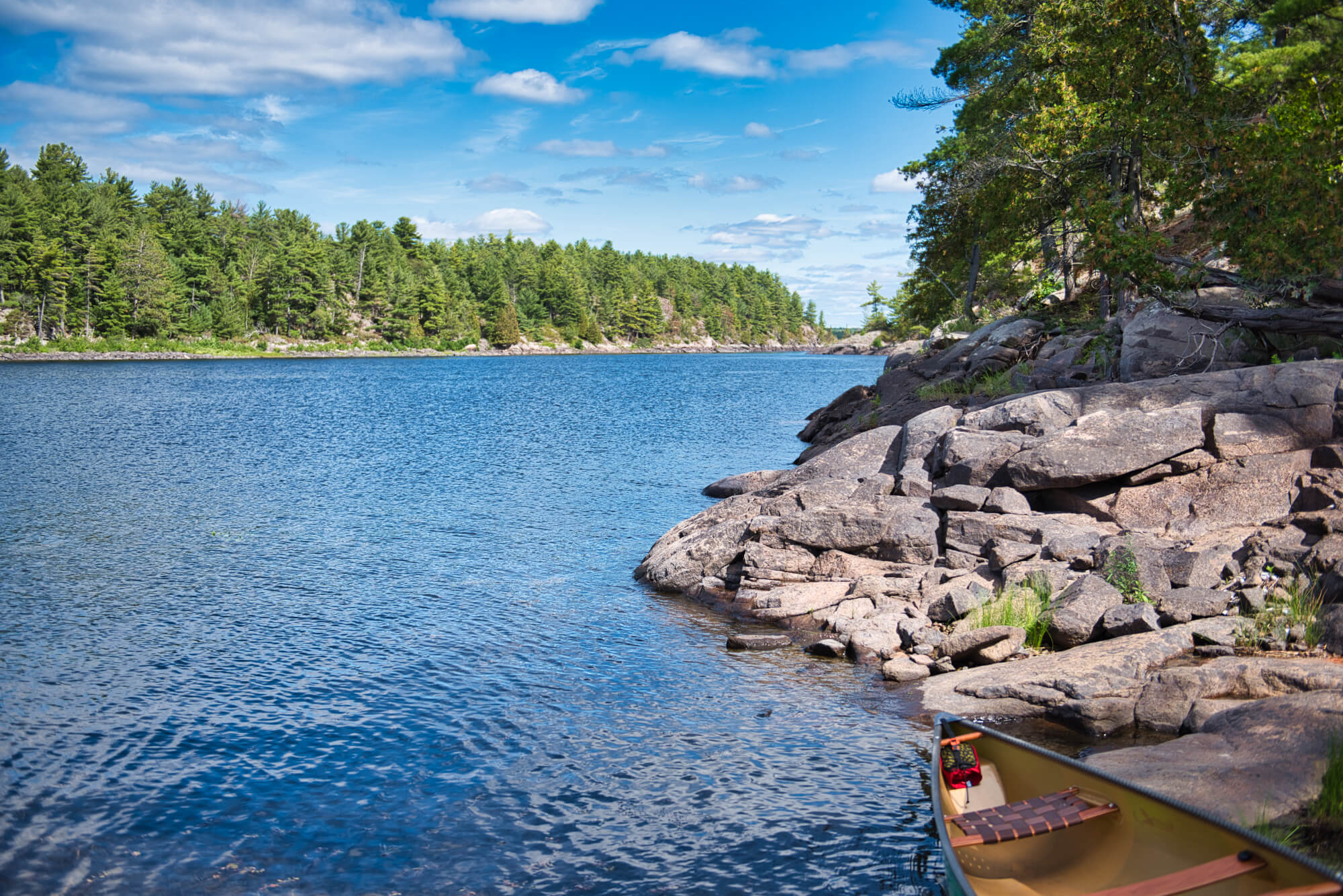
Photo by Evan Holt, c/o Ontario Parks
The French River flows through the southern reaches of the Canadian Shield in the region that is typically understood to divide densely populated Southern Ontario from the more remote regions of Northern Ontario.
As it connects Lake Nipissing to Georgian Bay in Lake Huron, the river passes through some of the world’s oldest rock. Archaeological evidence shows that the river was used as a transportation route by Indigenous peoples for thousands of years and was later used by European explorers as they pushed west.
The river became an integral part of the fur trade route and later the logging industry. Today it is mostly used for recreation.
Natural Heritage of the French River
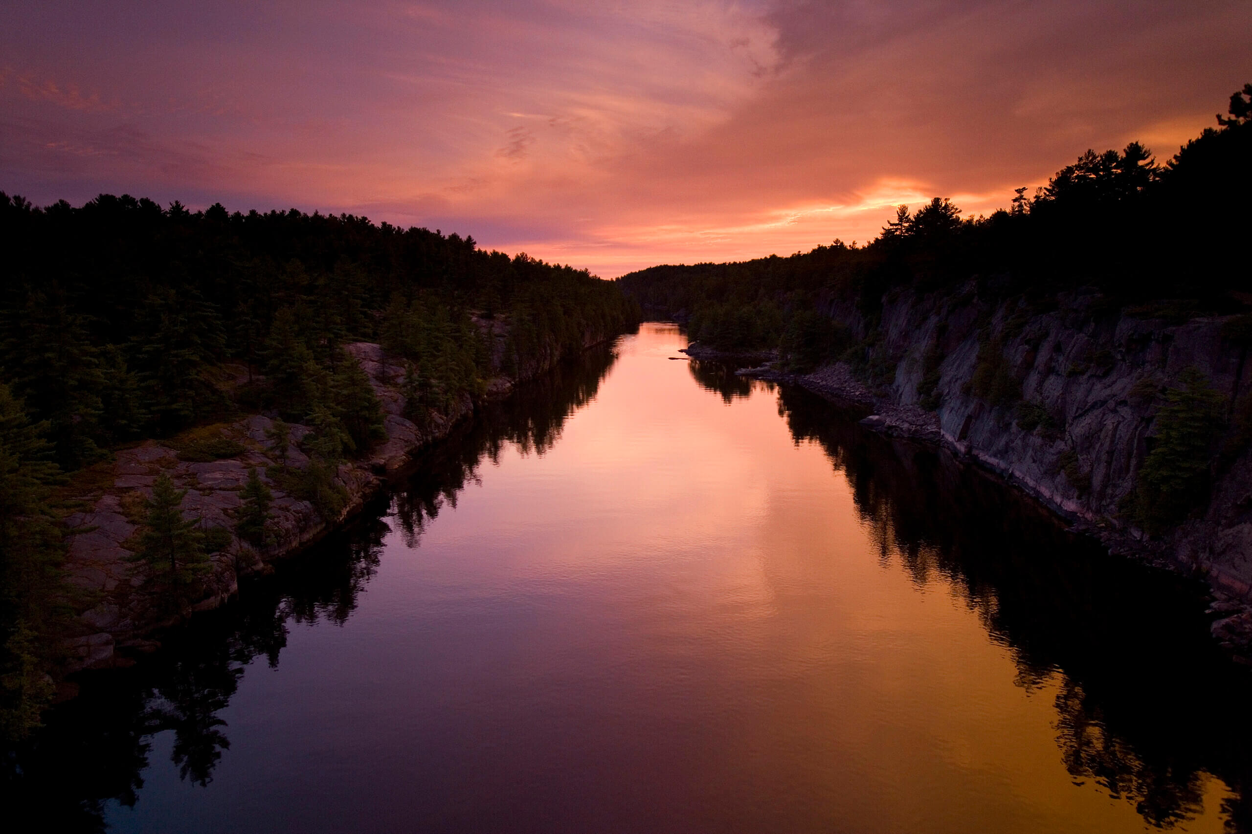
French River. Photo c/o Ontario Parks
The river flows through rapids, waterfalls, gorges and interconnected lakes, creating a rich environment in which hundreds of plants and animals thrive. This includes eight rare plant species, as well as the eastern massasauga rattlesnake and yellow pickerel. As you move along the river from Lake Nipissing to Georgian Bay, you’ll encounter areas of natural and geological significance. Some interesting features of the river include:
- At the entrance of the river is West Sandy Island, which holds provincially and regionally significant coarse soils and maple hardwood swamps, as well as old-growth red pine stands.
- Further down the river are the smooth rocks of the Five Finger Rapids (Zoongininjii in Anishinaabek), sculpted by ice and water. In the spring, bald eagles can be spotted in this area.
- Located around the intersection of Hwy 69, is the spot most associated with the French River — the straight, narrow and spectacular French River Gorge. Created by a fault line on the Canadian Shield, the gorge was shaped by glacial ice as it moved through the landscape some 12,000 years ago.
- Recollet Falls is a wide but short drop in the river along the Gorge that has to be portaged around when paddling. It is surrounded by Jack Pine forests and blueberry patches.
- Throughout the river, you can see the movement of glaciers in the form of glacial potholes — holes formed where meltwater gathered under moving glaciers and scraped away parts of the rock.
- Moving closer to Georgian Bay, you’ll find the French River Delta. This rock and wetland section provides an ideal habitat for the eastern massasauga rattlesnake, one of the few venomous snakes in Canada.
How to explore the French River?
Pine Cove, French River. Photo c/o Ontario Parks
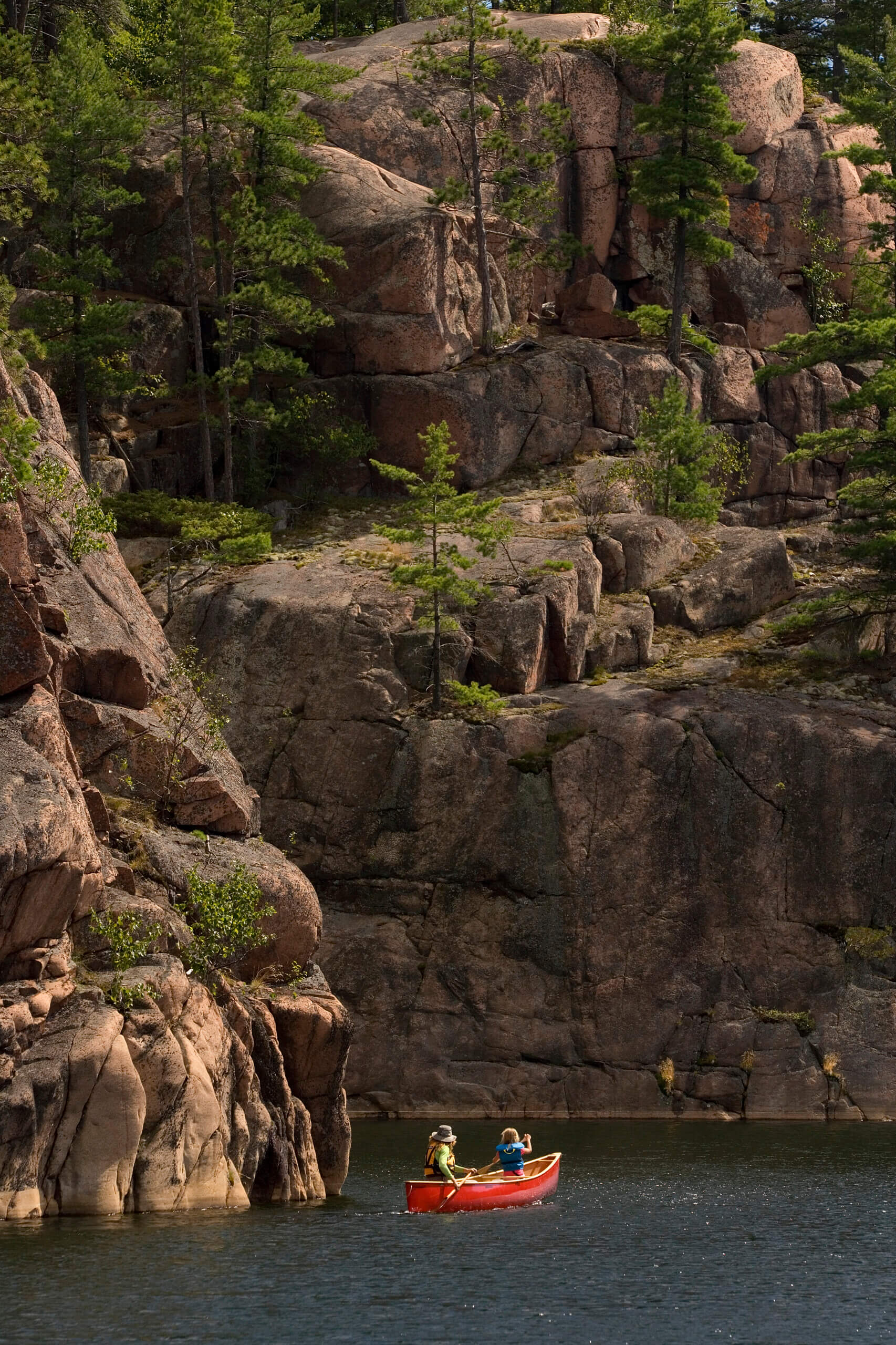
The best way to experience the French River is to traverse it in the same way as the First Peoples — by canoe. Paddling the French River requires skill and planning. Visit Ontario Parks for canoe route ideas along the river. Backcountry camping is allowed in the provincial park in designated sites on a first-come-first-serve basis.
Visitor Centre
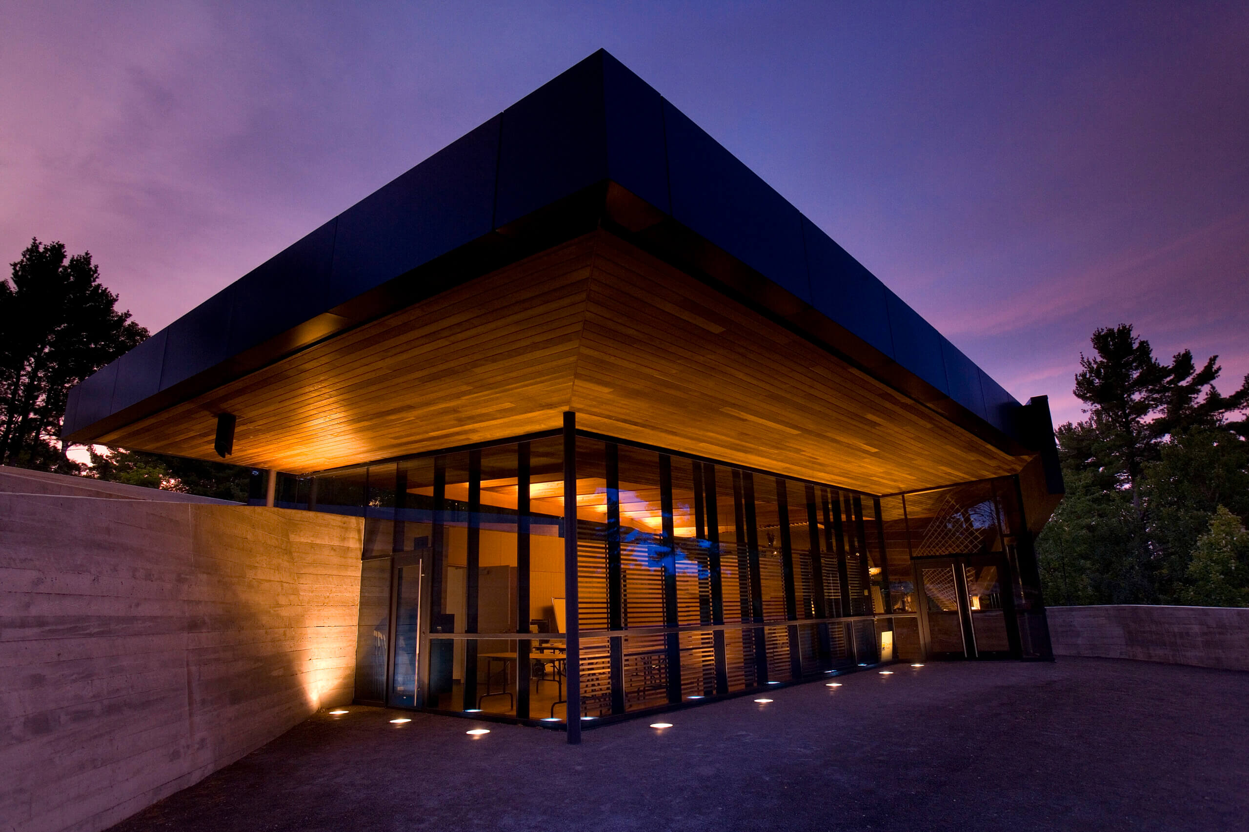
Visitor Centre, French River. Photo c/o Ontario Parks
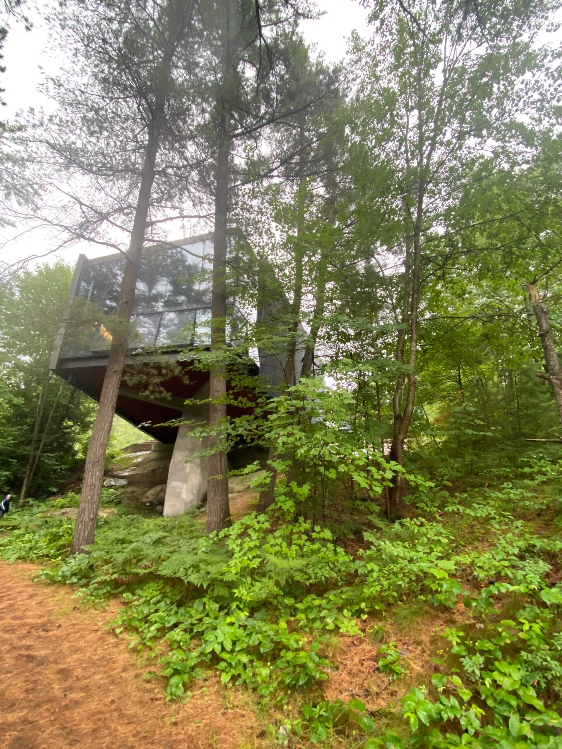
For those looking to get a small taste of the river without committing to a backcountry trip, I highly recommend a stop at the French River Provincial Park Visitor Centre. Located just off of Hwy 69, this award-winning building is beautiful and informative. We stopped in here recently on a rainy day while camping in nearby Grundy Lake Provincial Park and were blown away by the quality of the exhibits.
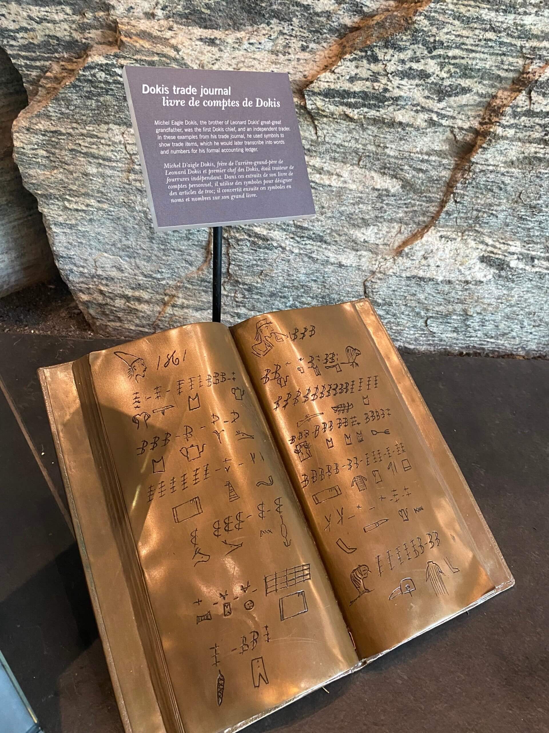
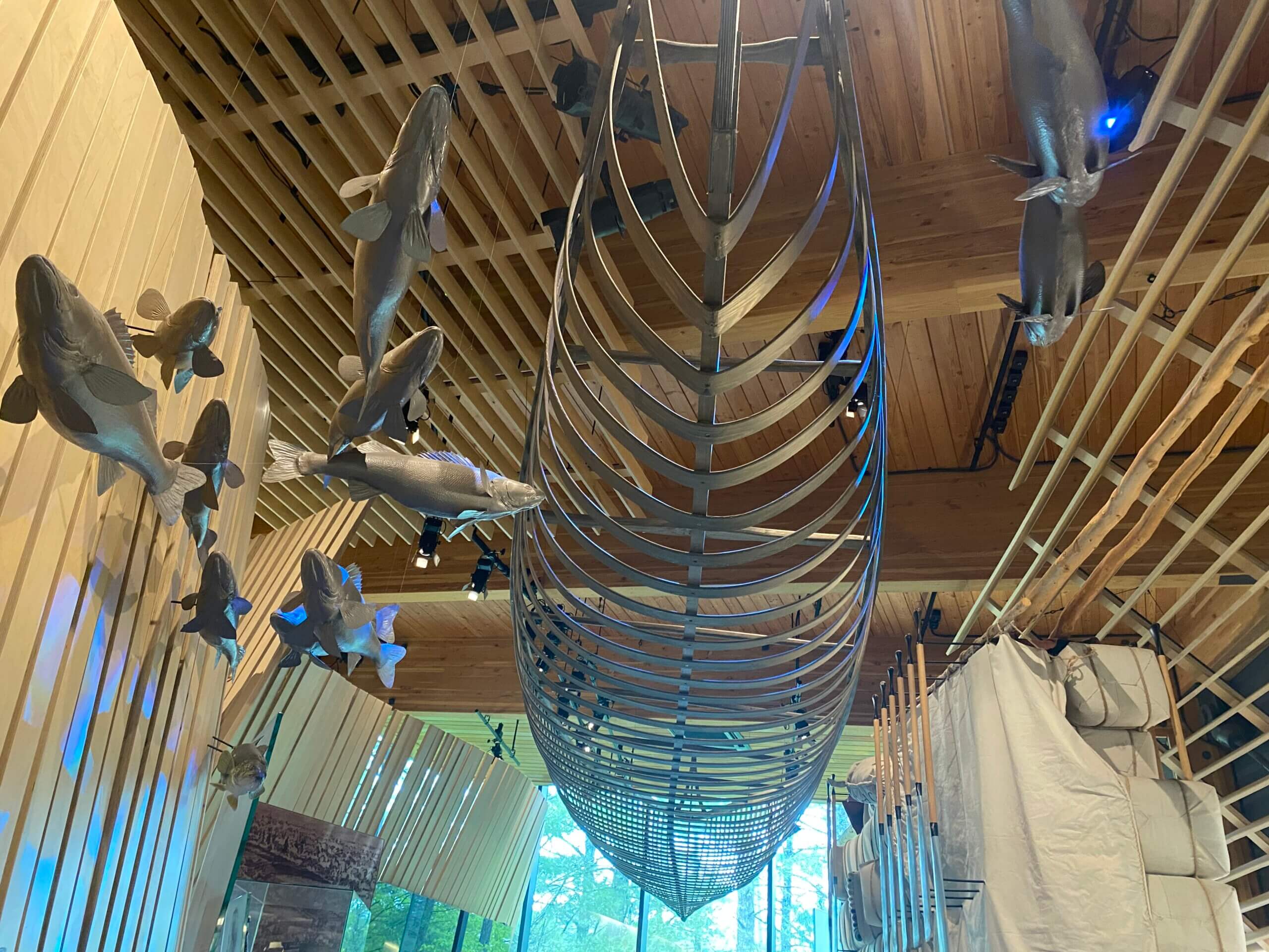
The “Voices of the River” exhibit showcases not only the natural elements of the river but the history of the First Nations, explorers, Voyageurs and others for whom the river was vital.
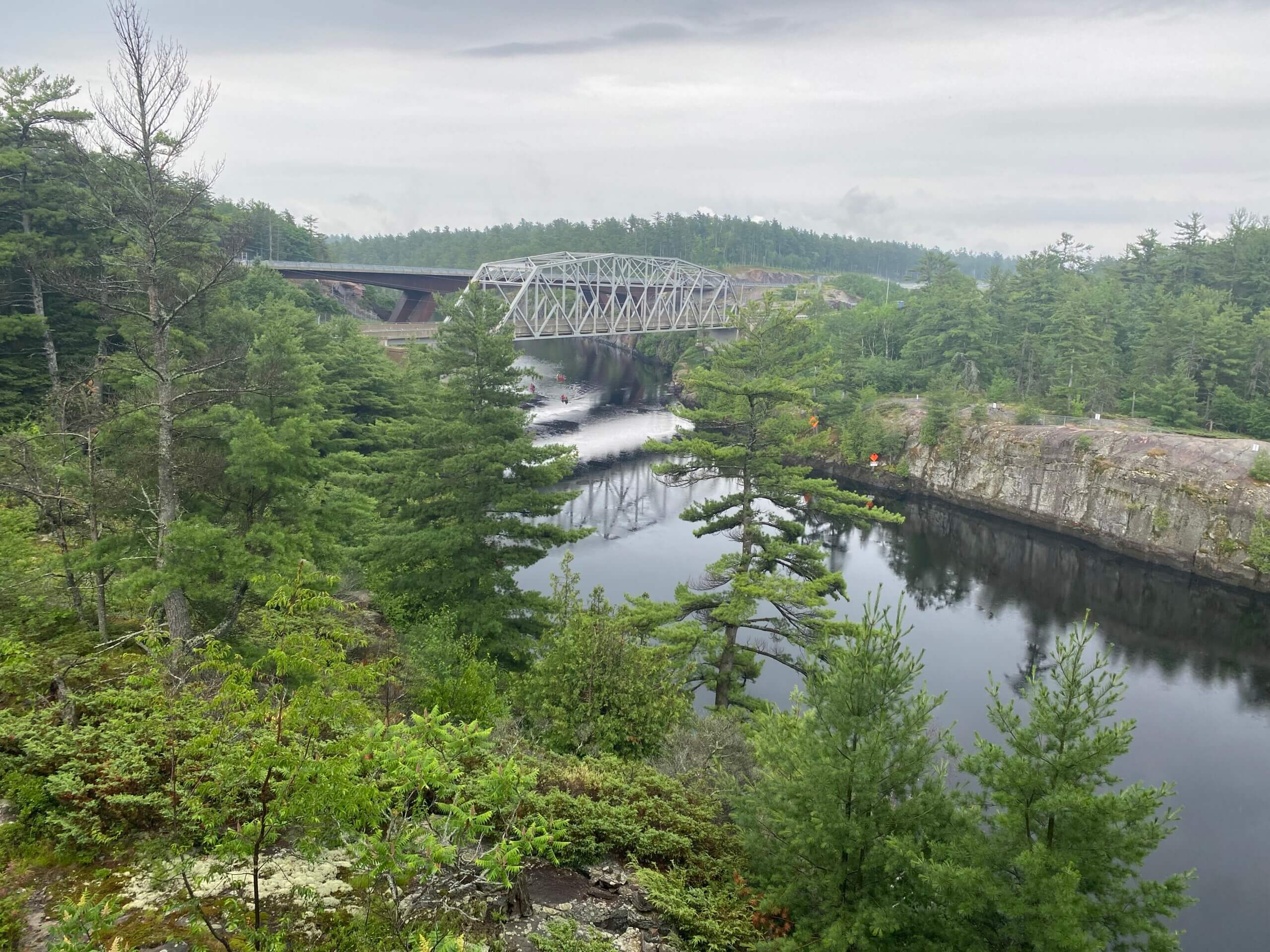
Just outside the Visitor Centre is a short stroll to the “snowmobile bridge” which is the green bridge that spans the gorge. It is 512 feet long, 12 feet wide and hangs 90 feet over the water. Build by the French River Snow Voyageurs Snowmobile Club in 2005, it is one of the largest snowmobile bridges in the world. The views from the bridge are spectacular.
From the Visitor Centre you can also head out on a short (3 km return) hike to Recollet Falls that follows the portage that has been walked for thousands of years. Due to the weather we did not do this hike as it can be quite slippery but we will be back to do it on our next trip through the region. Just remember to bring sturdy shoes as we were told the rocks can be challenging even in good weather.
See below for pictures from our rainy visit.