20 Photos You Won’t Believe Are In Saskatchewan

Grey Owl’s Cabin in Prince Albert National Park. Photo by Tyler Cave
Think Saskatchewan is all wheat fields and big prairie skies? Think again!
While you’ll find some absolutely gorgeous prairie landscapes on a trip to Saskatchewan — it is, after all, called the Land of the Living Skies– in this post we wanted to highlight the lesser known Saskatchewan landscapes. If you’ve never travelled to Saskatchewan, or simply passed through on a cross-country trip, many of these will surprise you!
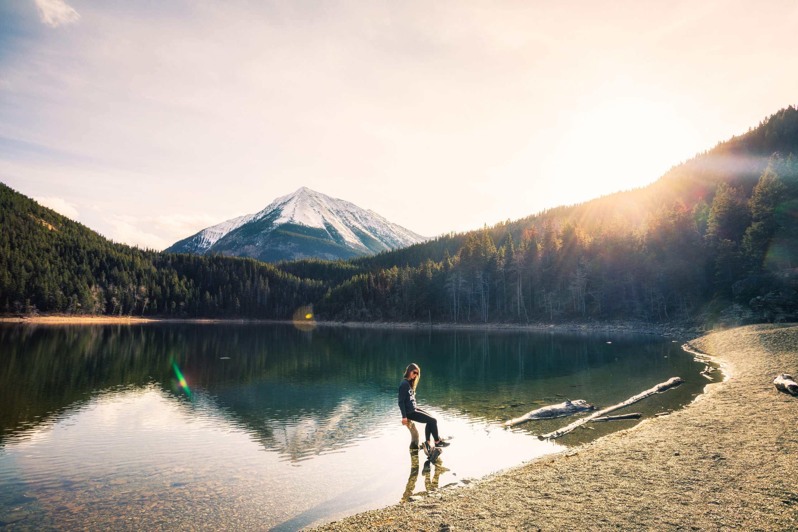
Elbow
Halfway between Saskatoon and Regina, the village of Elbow has a picturesque location on the shores of Lake Diefenbaker. A great spot for a daytrip or a beach getaway. Lake Diefenbaker has some great beaches along its shores.

The Lakeside Marina in Elbow, Saskatchewan. Photo by Paul Austring
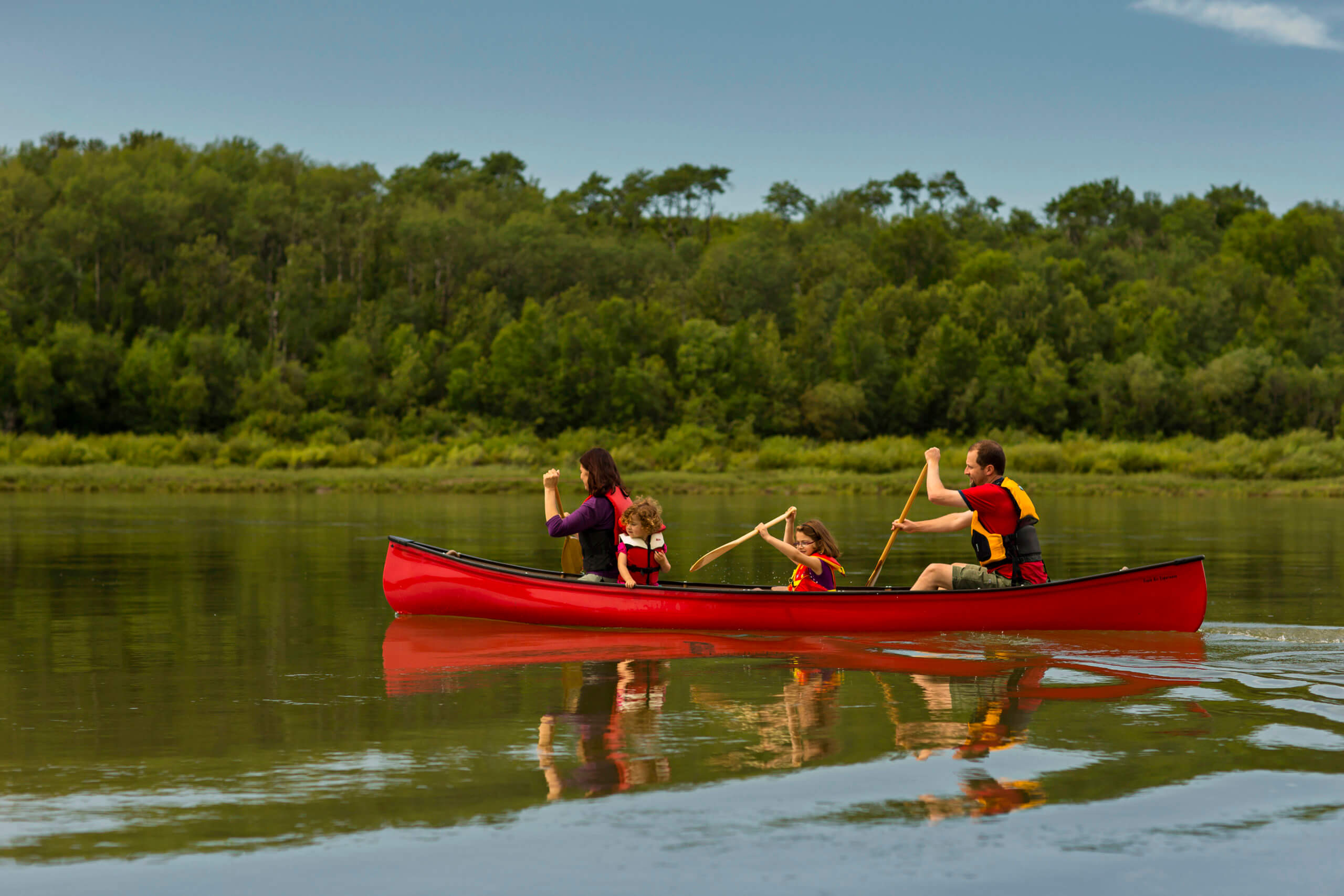
Prince Albert National Park
Located in central Saskatchewan, Prince Albert National Park lies within a natural transition zone between boreal forest and aspen parkland. The protected park contains the largest area of southern boreal mixed wood forest in Western Canada.

Hiking in Prince Albert Provincial Park. Photo by Greg Huszar
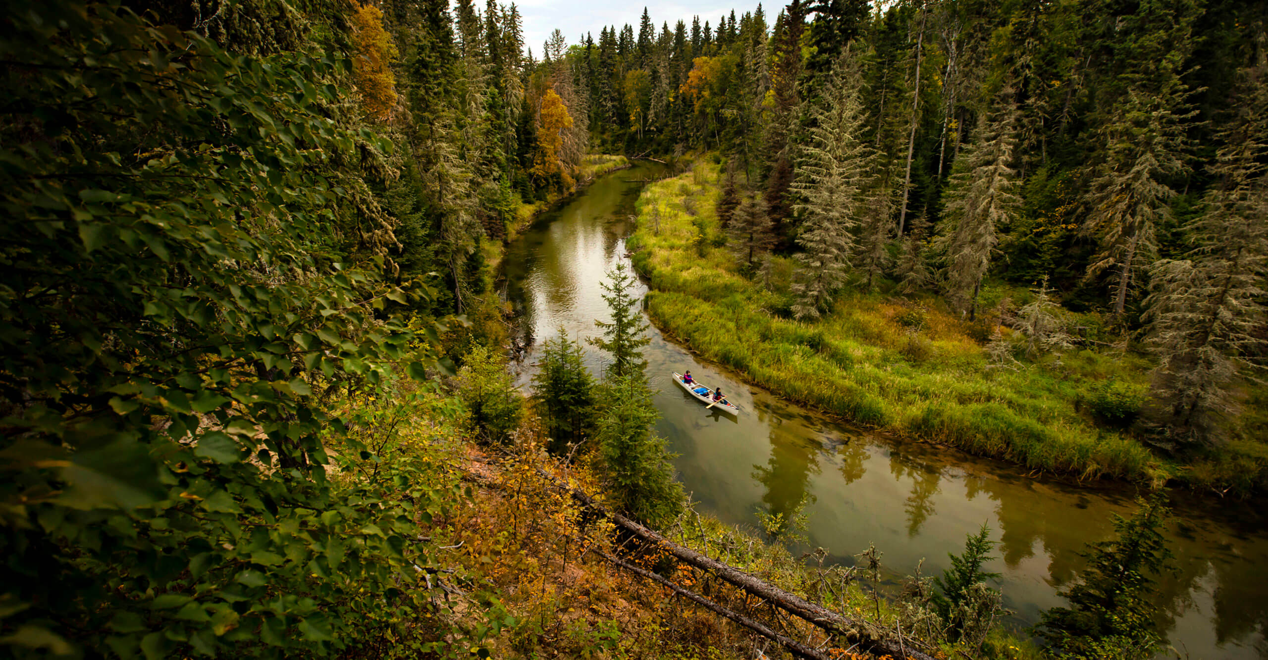
Canoeing in Prince Albert National Park. Photo by Greg Huszar
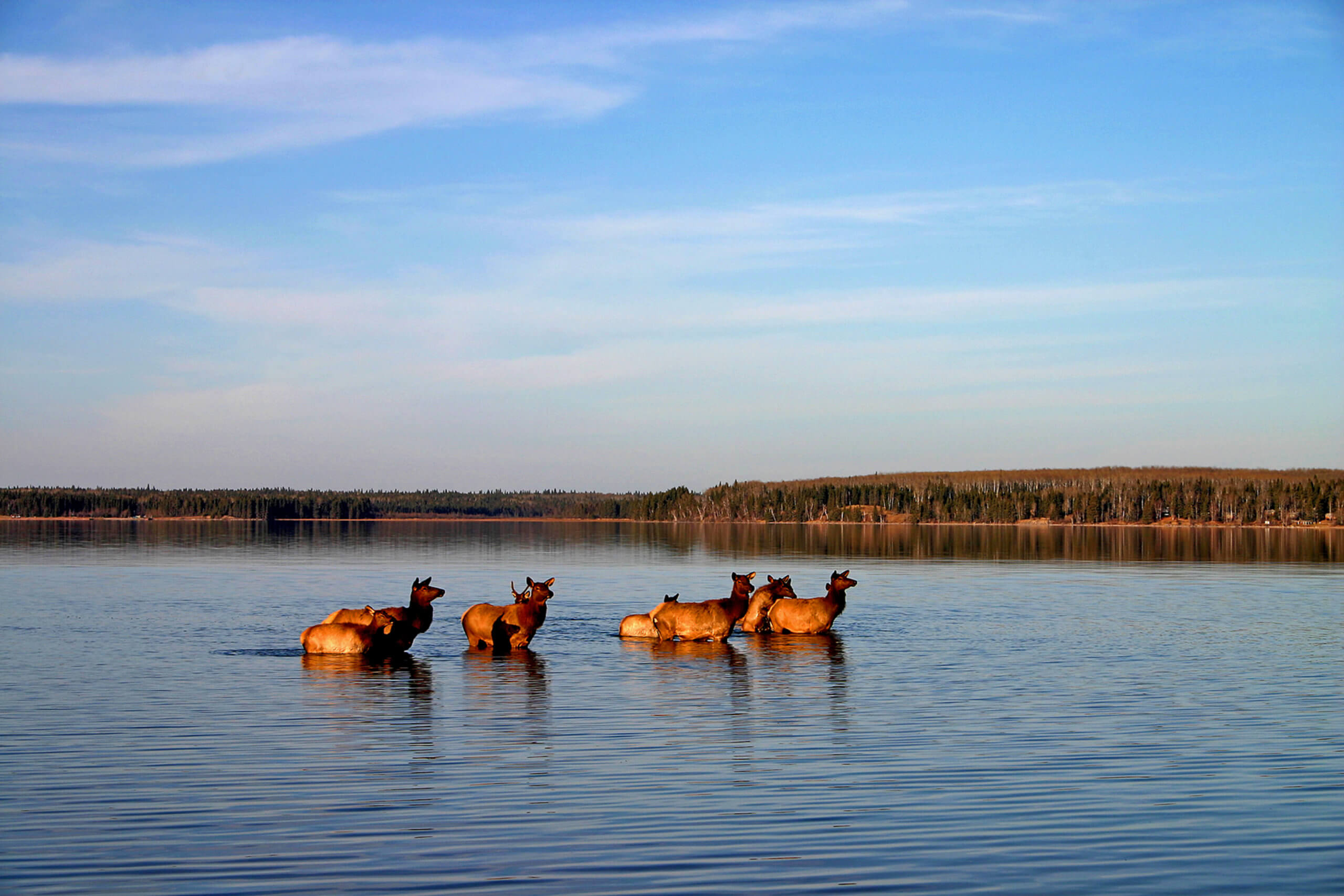
Elk in Waskesiu Lake, Prince Albert National Park. Photo by Debra Kuzbik
Blackstrap Provincial Park
Just 35 minutes south of Saskatoon, Blackstrap Provincial Park is named after the man-made 45-metre-tall mountain that dominates the prairie landscape. The lake is a popular place for watersports include wind and wake surfing.

Surfing at Blackstrap Provincial Park. Photo by Chris Hendrickson
Holy Trinity Anglican Church
The northern hamlet of Stanley Mission is located on the Churchill River, about 80 km northeast of La Ronge. It is home to the Holy Trinity Anglican Church, which was built in the 1850s and is the oldest standing building in Saskatchewan. Designated a historic site, the church was build from locally cut and hewn timber and still has the original stained glass brought in from England.
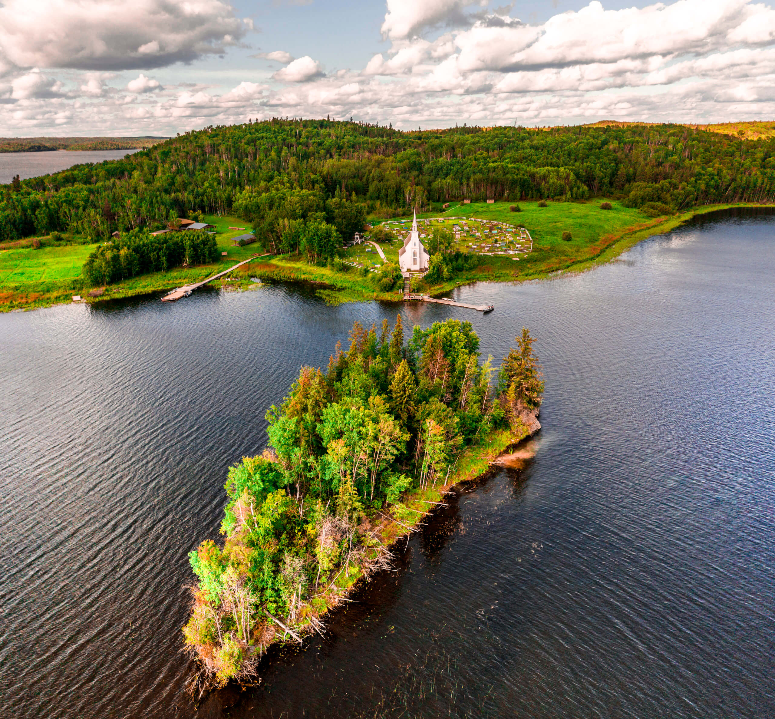
Holy Trinity Church. Photo by Tyler Cave
Scott Lake
Located in northern Saskatchewan, at the border with the Northwest Territories, Scott Lake is remote and beautiful. Visiting here requires a floatplane.
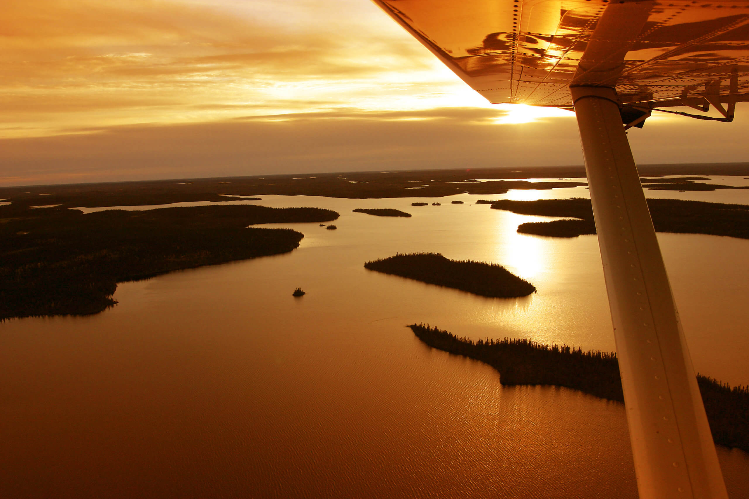
Scott Lake. Photo by Thomas Porter
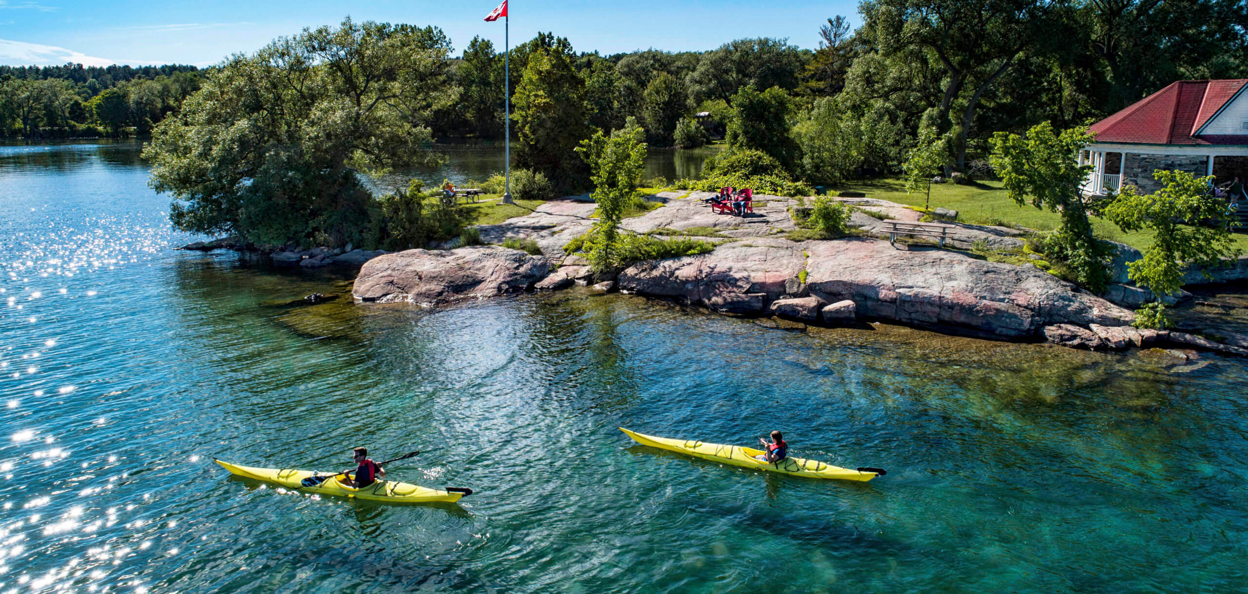
Batoche National Historic Site
The Batoche National Historic Site is located on the South Saskatchewan River, one of the major river systems in the country.
Batoche National Historic Site. Photo by Greg Huszar
Saskatoon
Saskatoon, dubbed the Paris of the Prairies, sits on both sides of the South Saskatchewan River with plenty of pretty bridges to join the two sides.
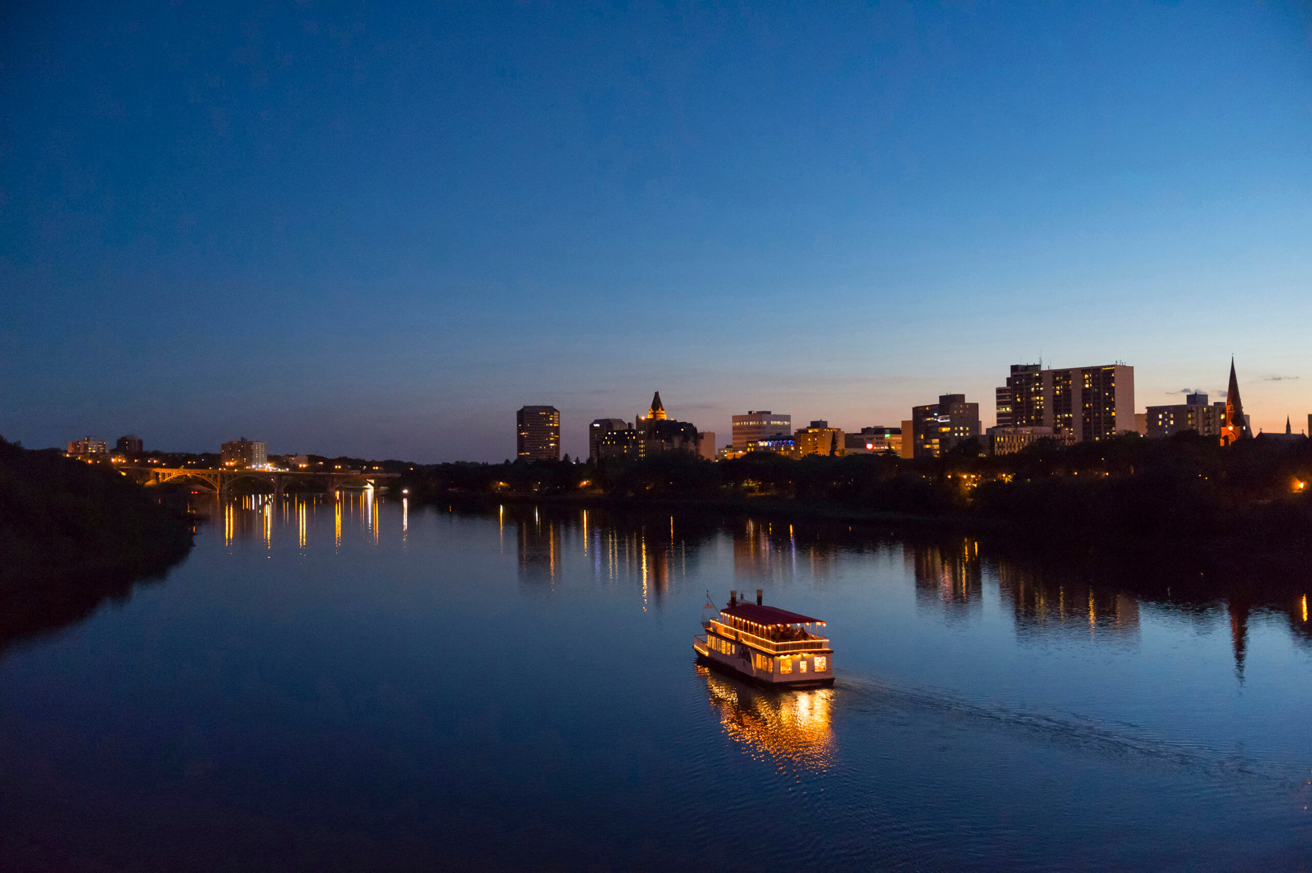
Boat cruise on the river in Saskatoon. Photo by Chris Hendrickson
Great Sand Hills
The Great Sand Hills of southwestern Saskatchewan will make you feel like you’re in the desert. Stretching for 1,900 sq km, the dunes are flanked by native grasses and small clumps of trees.
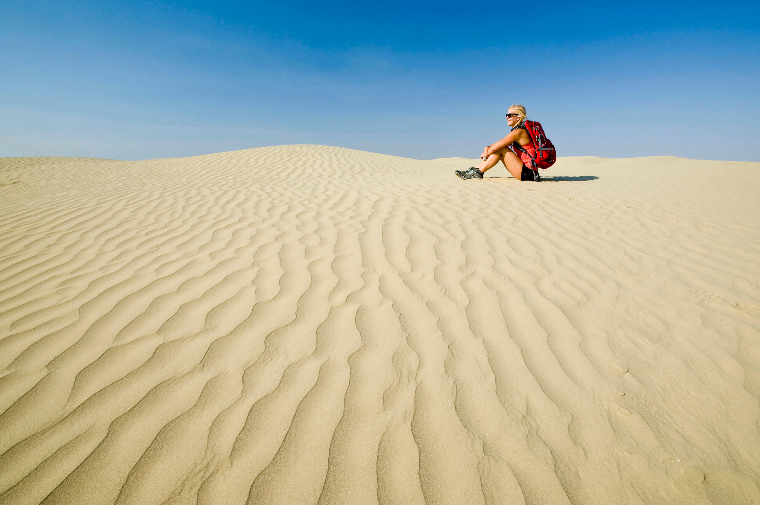
The Great Saskatchewan Sandhills, near Sceptre. Photo by Dave Reede
Northern Lights
This might come as a surprise to some but the Aurora Borealis — or the Northern Lights — appear often over the Saskatchewan skies as much of the province is within the Auroral Zone.
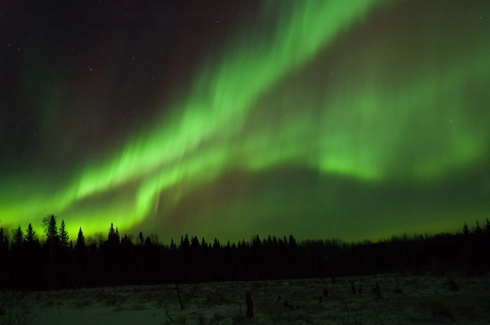
Northern Lights. Photo by Larry Goodfellow
Athabasca Sand Dunes Provincial Park
The Athabasca Sand Dunes stretch for more than 100 km along the shores of Lake Athabasca in remote northern Saskatchewan. A visit here requires some work — floatplane or boat from certain locations — but visitors are rewarded with incredible scenery and a rich ecosystem that is unique in the world. Some of the dunes reach as high as 30 metres!
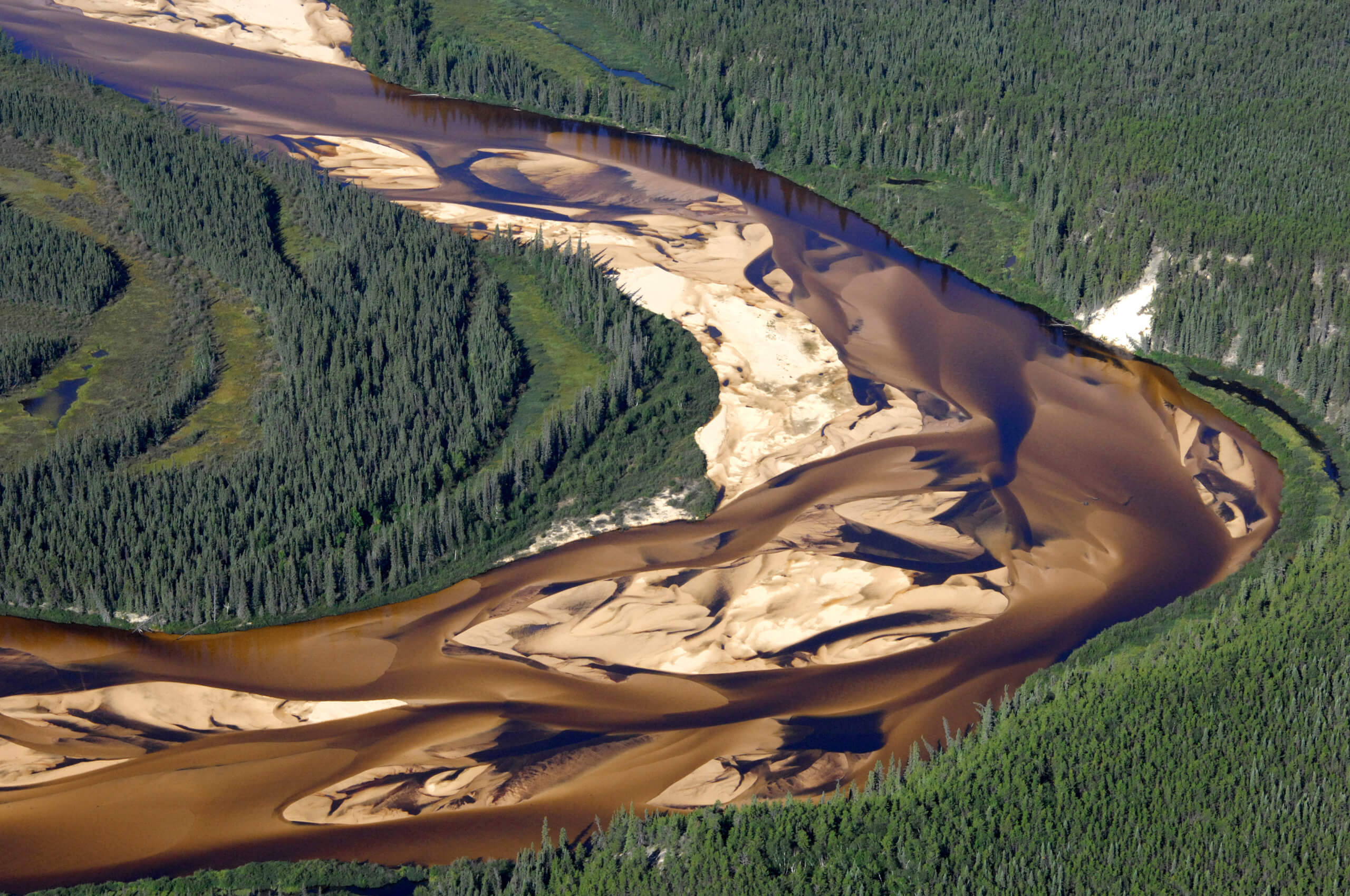
Photo by Ron Garnett, AirScapes

Photo by Thomas Garchinski
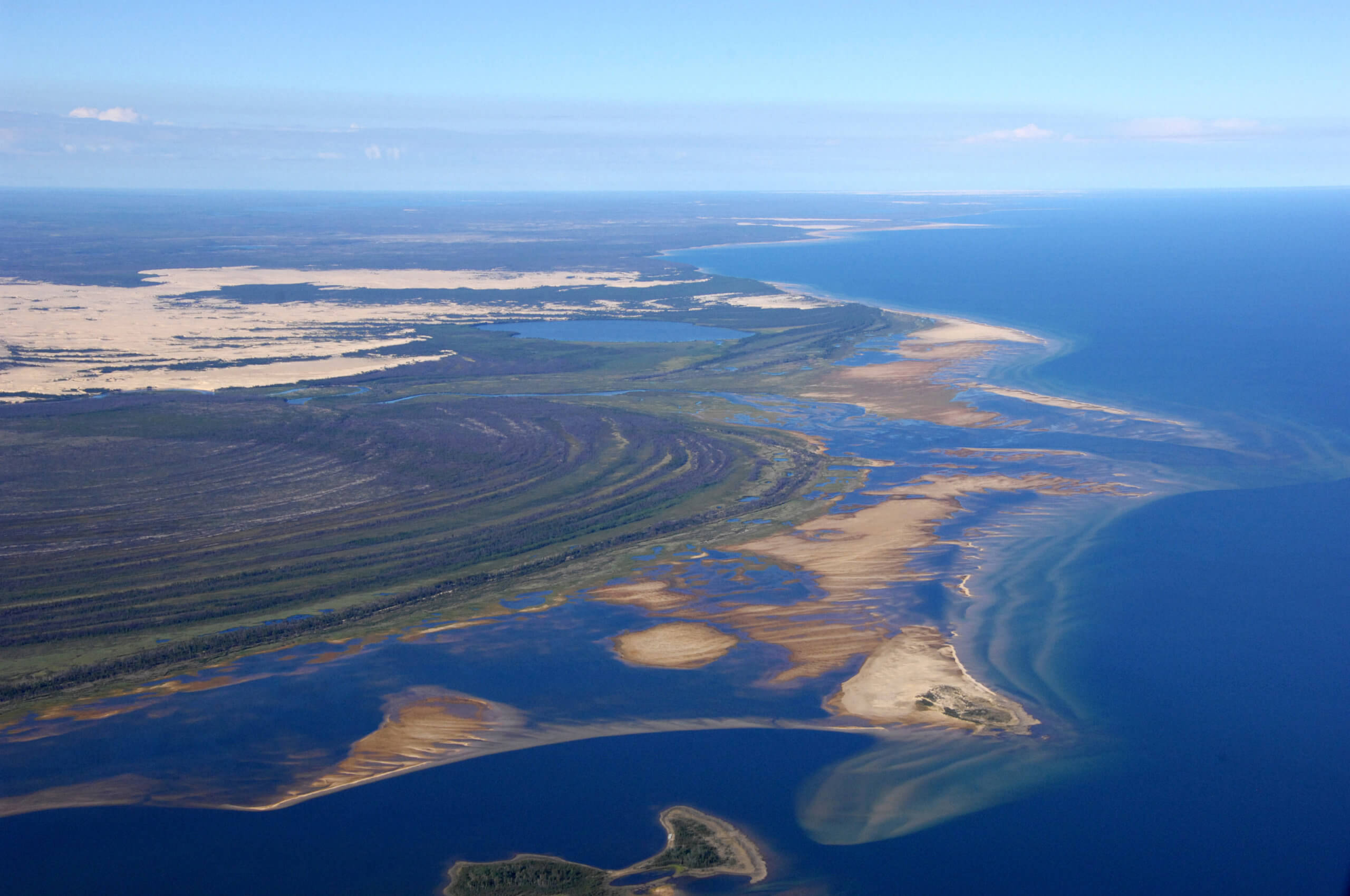
Photo by Ron Garnett, AirScapes
Cypress Hills
Shared between Alberta and Saskatchewan, Cypress Hills Interprovincial Park contains the highest elevation in the Prairies. It has good hiking, with plenty of beautiful lookouts.
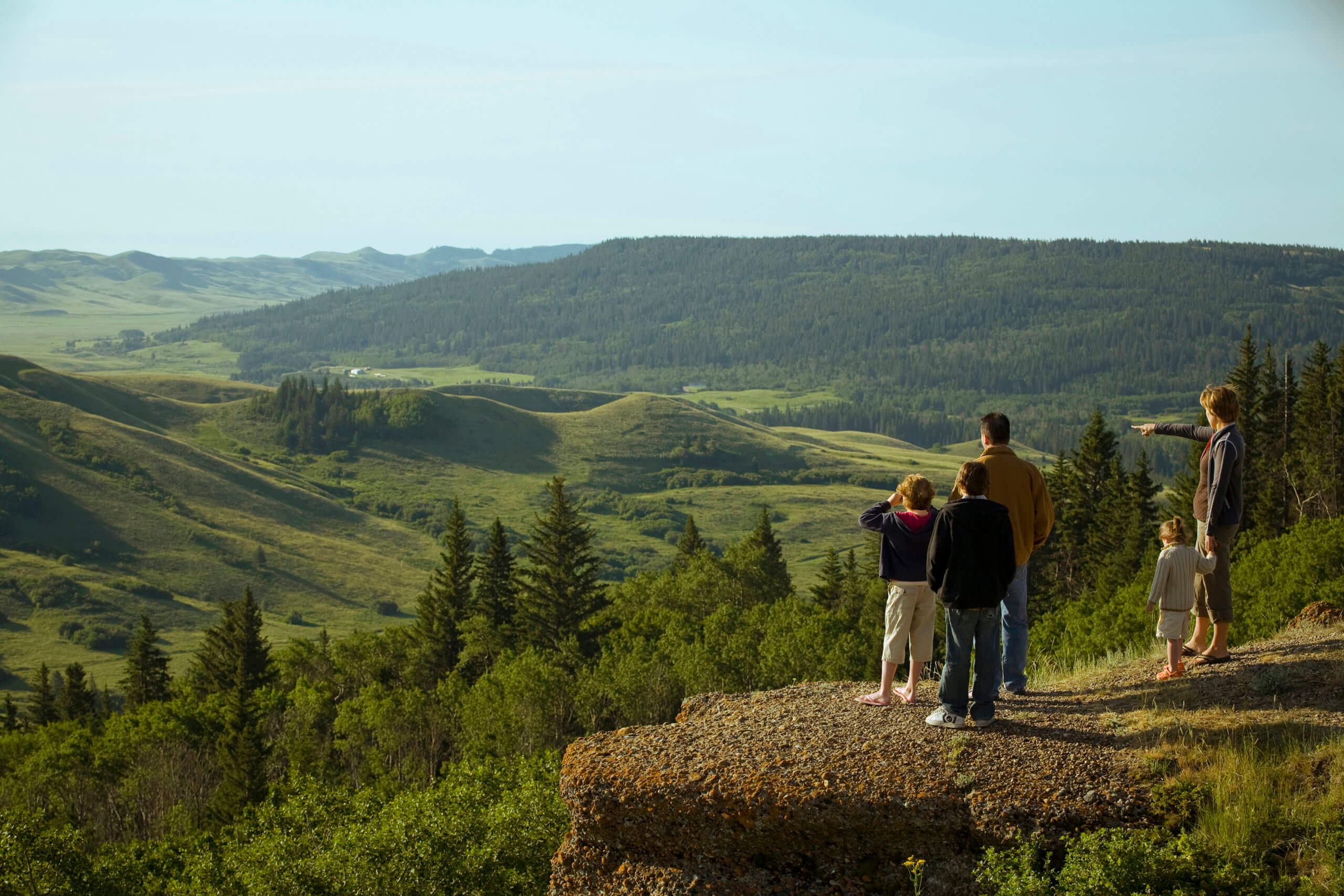
Cypress Hills InterProvincial Park. Photo by Greg Huszar
Grasslands National Park
Grasslands National Park, located at the Saskatchewan-Montana border, protects some of Canada’s last remaining areas of short prairie grassland. The harsh landscape is home to the black-tailed prairie dog, bison, pronghorns, coyotes and many other interesting creatures. It may be off the beaten path, but totally worth a visit.
Grasslands National Park. Photo by Andrew Hiltz
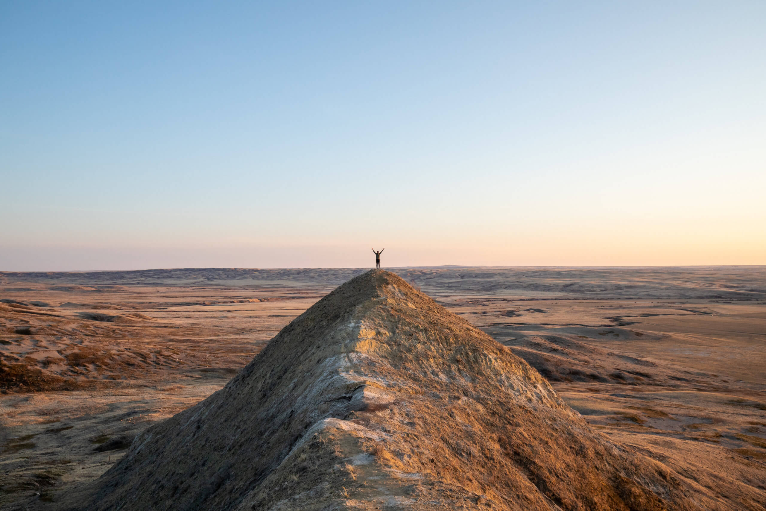
Big Muddy Badlands
Drive about 170 km south of Moose Jaw and you’ll come to Big Muddy Valley and the Badlands. This Wild-West-type sandstone landscape was formed by melting glacial activity during the last ice age. The most recognized formation is the 70-metre high Castle Butte.

Big Muddy Badlands with Castle Butte in the background. Photo by Dave Reede
Narrow Hills Provincial Park
Lush boreal forests and sparkling blue lakes characterize Saskatchewan’s Narrow Hills Provincial Park, a great wilderness park for camping, hiking and fishing.
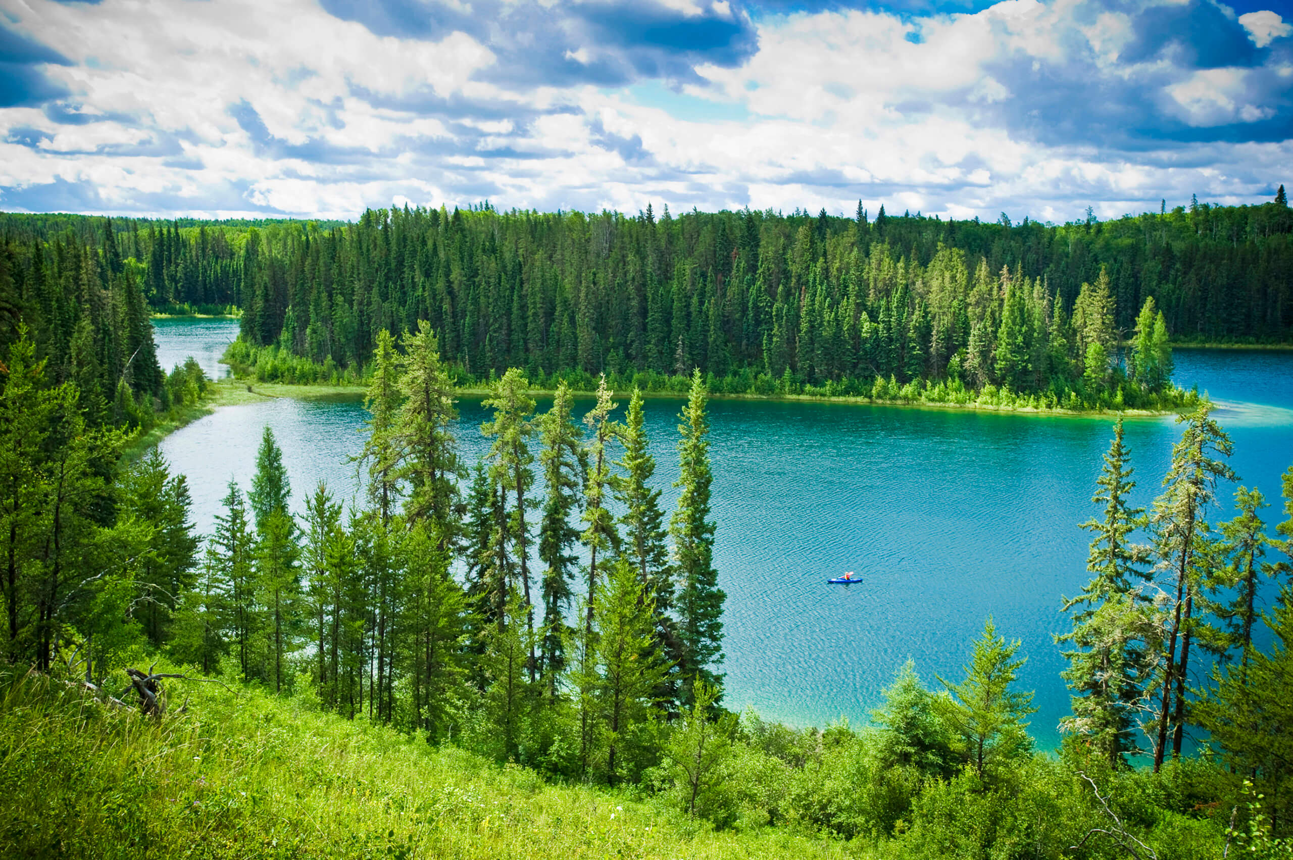
Narrow Hills Provincial Park. Photo by Paul Austring
Avonlea Badlands
Set on private land, the Avonlea Badlands can only be seen with a guided tour. The visit is well worth it as the formations in this part of Saskatchewan are incredible. Created through erosion and glacial activity, the Badlands look like an alien landscape with plenty of interesting hoodoos (tall, thin spires of rock) and buttes (isolated hills with steed sides) to see and photograph.
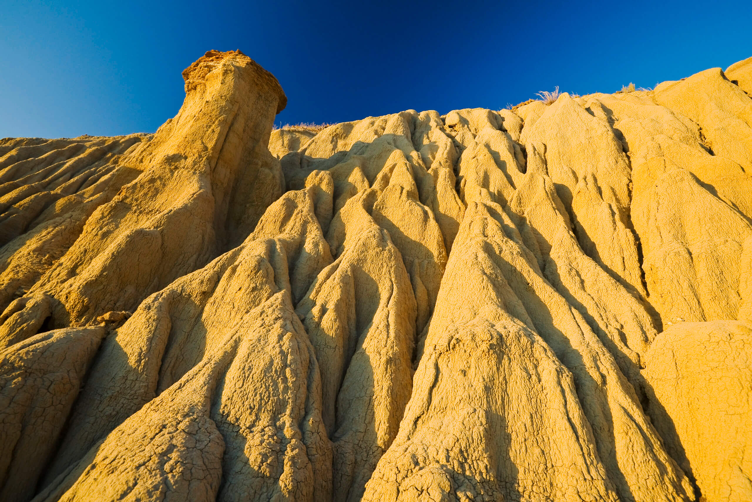
Avonlea Badlands. Photo by Dave Reede
Get Canadian travel inspiration sent directly to your inbox!
The form you have selected does not exist.