

Kananaskis Fall Hiking: Where to Catch the Golden Larches

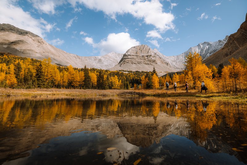
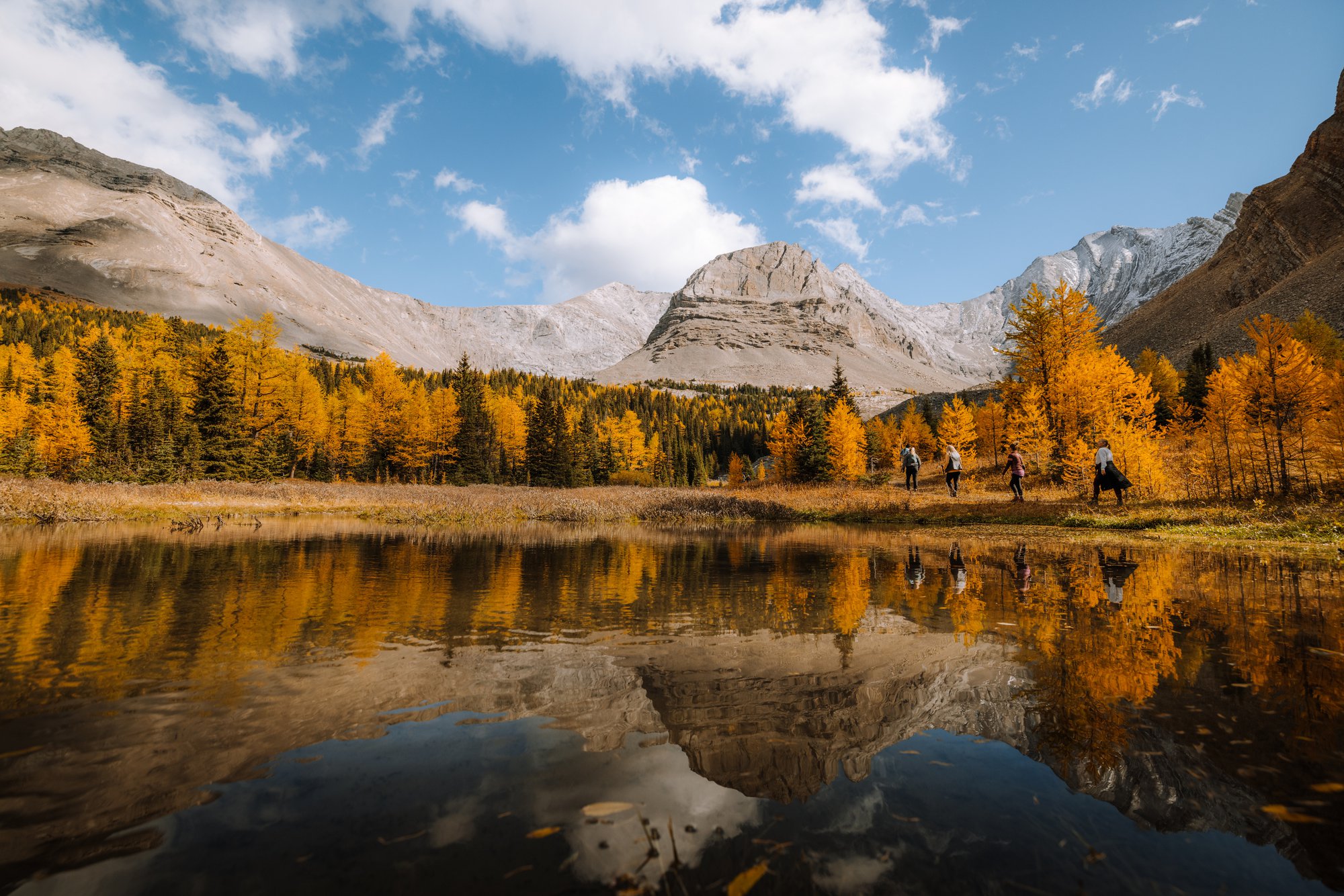
Each September, the alpine valleys of Kananaskis Country undergo one of Alberta's most striking seasonal transformations. Larch trees, scattered through the high-elevation forests west of Calgary, turn a brilliant gold before dropping their needles for winter, drawing hikers to trails that are quiet for most of the year but busy for these few short weeks. If you're planning Kananaskis fall hiking around this window, here's what to know, and five hikes worth building a trip around.
Kananaskis is managed by Alberta Parks rather than Parks Canada, and a Kananaskis Conservation Pass is required for any vehicle parked in the area, so it's worth picking one up before you go.
What is larch season?
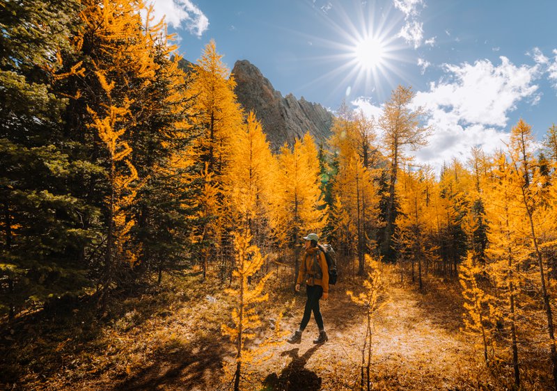
Larches are one of the only conifers that lose their needles each year — but before they drop, the needles turn a brilliant gold. It's a short-lived event, and unlike the deciduous colour change you'll see at lower elevations, larches only grow above roughly 1,800 metres, so the show is reserved for hikers willing to climb into the alpine. This is what makes Kananaskis fall hiking different from a typical autumn walk — the reward is concentrated in a narrow band of trails at elevation, for a narrow window of time.
The colour typically peaks sometime in September, though the exact window shifts from year to year depending on weather. It's worth checking current conditions before you head out, since a hard frost or early snow can end the season quickly.
Kananaskis Country, just west of Calgary, has one of the best concentrations of larch-viewing trails in the Rockies, with several routes accessible via Highway 40 and the Smith-Dorrien Road. If you're combining your trip with a longer drive through the region's ranch country, our guide to Riding Alberta's Cowboy Trail covers the foothills towns just east of here. Here are five hikes worth planning a trip around.
Ptarmigan Cirque
Distance: 4.2 km round trip Elevation gain: under 300 m
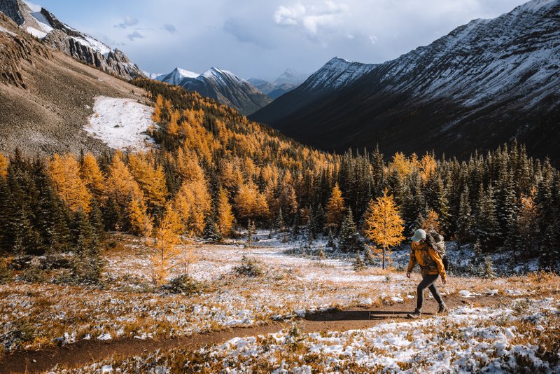
The most accessible larch hike in Kananaskis. The trail climbs from the Highwood Pass parking area, crosses Highway 40, and leads into an open alpine meadow surrounded by larch trees, with views across to Grizzly Ridge, Pocaterra Ridge, and Mount Tyrwhitt. It's short enough to manage in a couple of hours, which makes it a popular choice for families — and also means it draws crowds during peak colour. Arrive early, especially on weekends, as the parking lot fills quickly.
Chester Lake
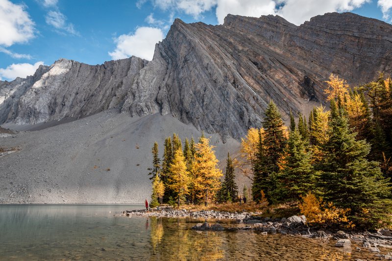
A moderate hike best suited to those based in Canmore, since the trailhead sits well up the Smith-Dorrien Road, past Mount Engadine Lodge. The trail passes through forest before opening onto a lake ringed by larches, with more scattered through the surrounding meadows. It's a favourite for photographers thanks to the reflections on the water. The trail can get muddy later in the season, so waterproof footwear is worth packing.
Pocaterra Cirque & Ridge
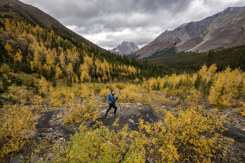
A longer, more demanding full-day hike for those wanting to get above the treeline. The trail follows Pocaterra Cirque before climbing to Pocaterra Ridge, with sweeping views of the surrounding peaks and larch-covered slopes below. Because it's a one-way ridge route, most hikers arrange a car shuttle between the trailhead and the exit point rather than retracing their steps. The trailhead shares a parking lot with Ptarmigan Cirque, so plan accordingly during busy periods.
Arethusa Cirque
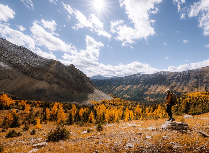
Located within Peter Lougheed Provincial Park, just south of Ptarmigan Cirque. The trail follows a stream up to an alpine meadow, passing a waterfall along the way, before opening to views of Arethusa Mountain. It's a moderately challenging route and noticeably quieter than its more famous neighbour, making it a good option for hikers who want the larch experience with fewer people on the trail.
Rummel Lake
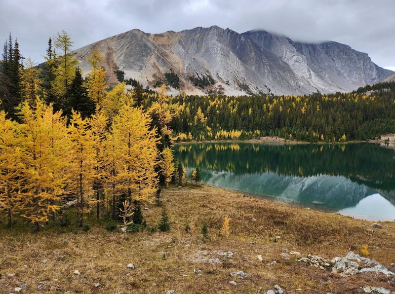
An easier option accessible from the Smith-Dorrien Road, across from Mount Engadine Lodge. The trail gains elevation gradually on the way to the lake, which sits beneath Mount Galatea and is surrounded by larches during the season. Hikers looking for a higher vantage point can continue past the lake for broader views over the cirque.
Planning Your Kananaskis Fall Hiking Trip
- Time it right. Larch colour typically peaks sometime in September, though the exact window shifts year to year depending on weather. A hard frost or early snow can end the season quickly, so check current conditions before you head out.
- Arrive early. Trailheads along Highway 40 — particularly Ptarmigan Cirque and Pocaterra — see heavy traffic during peak colour. Arrive early to secure parking and avoid crowds on weekends.
- Get your conservation pass. A Kananaskis Conservation Pass is required for any vehicle parked in the area; pick one up before you go.
- Pack for bear country. Carry bear spray, know how to use it, and make noise on the trail.
- Layer up. Alpine weather can shift quickly even in early fall, regardless of how the day starts down in the valley.
- Check road conditions. High-elevation sections of Highway 40 close for winter, so confirm Alberta Parks' current road conditions before you set out.
Looking to explore more of the province beyond the mountains? Our guide to Alberta's badlands and off-the-beaten-path regions is a good next stop. For more ways to experience Alberta's Rockies this fall, take a look at our Alberta Experiences, Trips, and Tours.