Newfoundland & Labrador’s Iceberg Season Is Coming: Here’s What You Need To Know
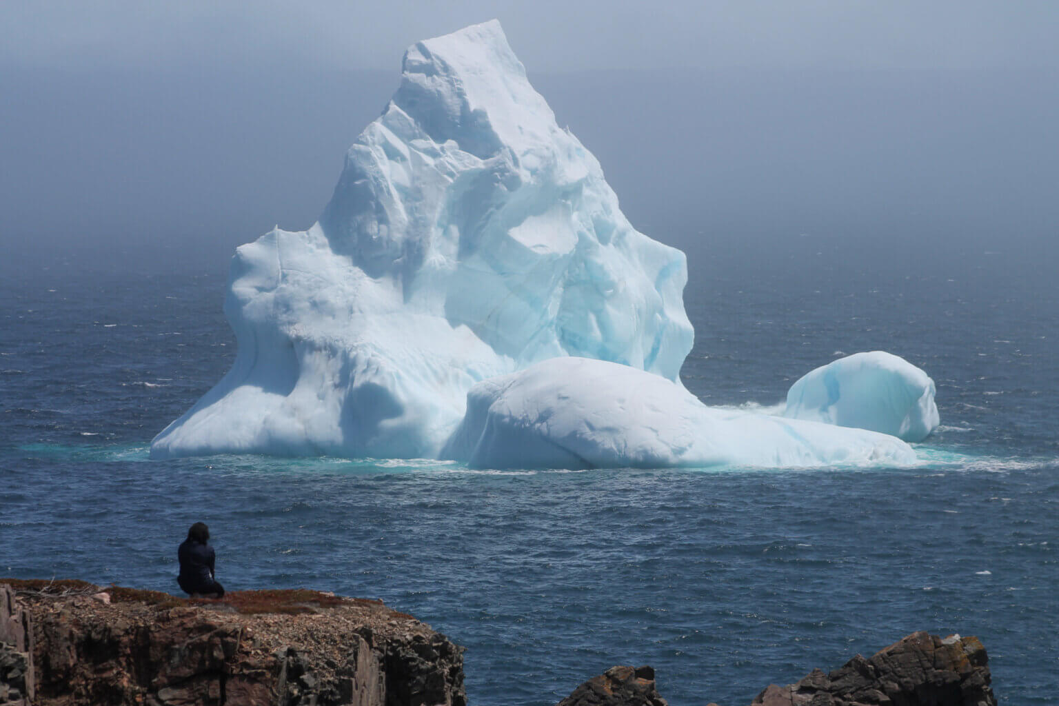
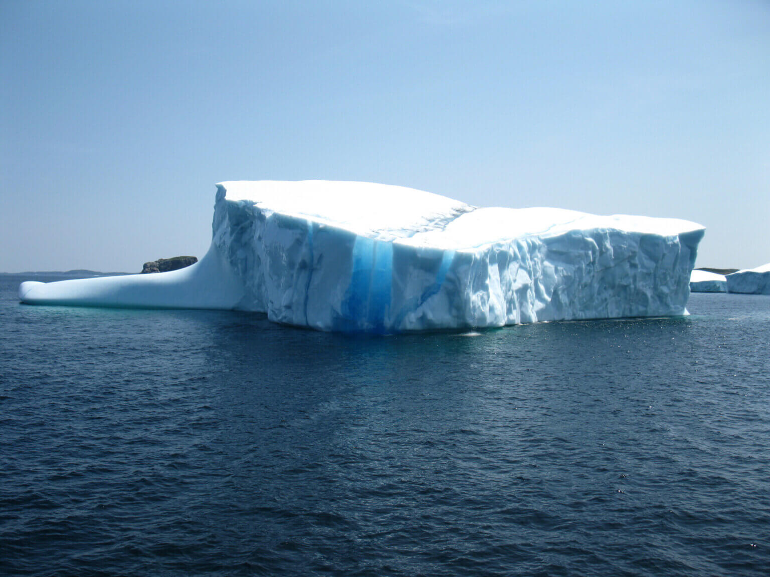
An iceberg just off Fogo Island in Newfoundland.
Stretching from the coast of Labrador to the southeast coast of Newfoundland is a place referred to as Iceberg Alley, where every spring and early summer giants come to visit.
Gliding through the water, these huge sculptures of ice and snow were formed some 10,000 years ago. They are the edges of glaciers, mainly from Greenland, that have broken off and are now floating south where they will eventually melt in the warmer ocean waters — like freshwater ice cubes in the salty ocean.
Iceberg season is an exciting time in Newfoundland and Labrador. Icebergs make for a dramatic backdrop in an already stunning and dramatic landscape. Visitors can often see them from land but many local operators also offer boat tours that get you a little closer for viewing. Read on for more details and inspiration.
To plan your own trip to Newfoundland and Labrador, start by browsing Landsby’s curated packages.
When is Iceberg Season in Newfoundland & Labrador?
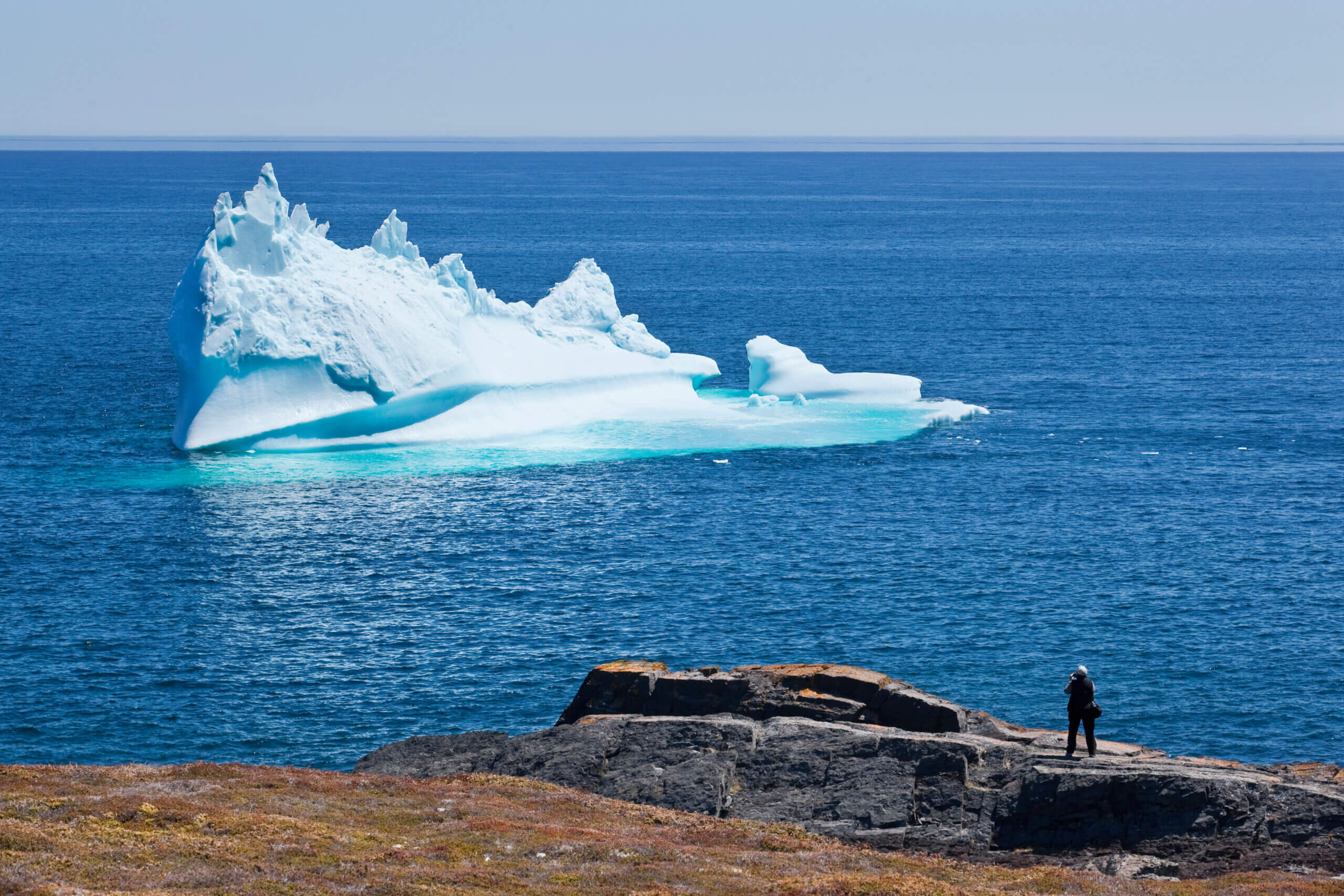
Photo c/o Tourism Newfoundland and Labrador
Iceberg Season in Newfoundland is experienced loosely from March to July, with a variation in months depending on the region. Further north in Labrador, for example, icebergs start appearing sooner and can usually be viewed until July. But in the more southern regions of Newfoundland, iceberg season might not get going until the end of May.
Typically, your best bet is to visit at the end of May/beginning of June because any earlier and the icebergs might still be trapped in sea ice on the North Atlantic (meaning boats can not approach).
As with all natural phenomenons, nothing is guaranteed. Climate change is also having an effect on iceberg patterns.
Where can I view icebergs in Newfoundland and Labrador?
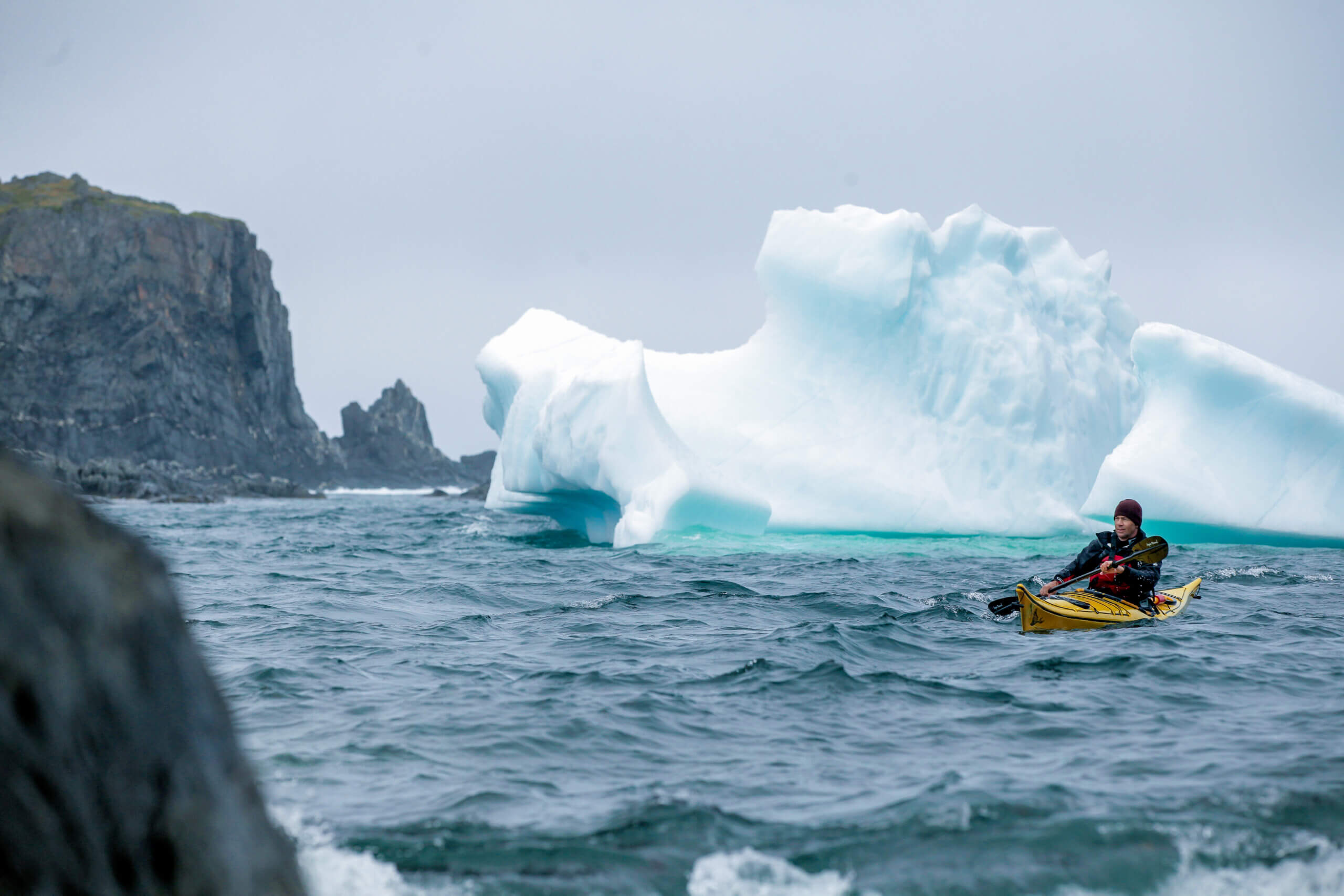
Photo c/o Tourism Newfoundland and Labrador
Iceberg Alley begins in Labrador and stretches down along the coast. Every year about 40,000 icebergs break off from Greenland, but not all of them will make it as far south as Iceberg Alley — it really depends on wind, temperature, the amount of sea ice and ocean currents.
More sea ice, for example, means icebergs don’t break down as quickly and are larger when they reach Labrador and then Newfoundland. Less pack ice means the ocean waves will batter the icebergs more frequently, causing quicker erosion. Rising water temperatures also mean more icebergs are melting further north.
But Newfoundland and Labrador still remains one of the top places in the world to see icebergs. You can use this site IcebergFinder.com to locate icebergs.
Some of the top places in the province to visit if you’re interested in iceberg viewing are St. Lewis, Battle Harbour, Red Bay, Point Amour, St. Anthony, La Scie, Twillingate, Fogo Island, Change Islands, Bonavista, St. John’s/Cape Spear, and Bay Bulls/Witless Bay.
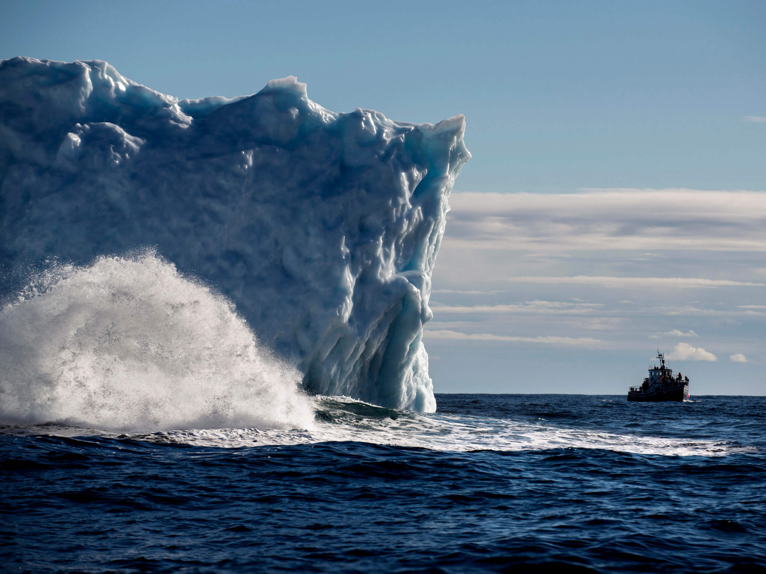
Typically, if the iceberg is 5 km or less from shore, you can get a very good look at it while on land. Some great vantage points on land are Signal Hill, Cape Spear or the Twillingate Lighthouse. If you decide to head out on the water, you’ll have to keep a safe distance as icebergs are famously unstable and take up much more space below the surface than above. Icebergs can splinter (calve) or even flip over without much notice.
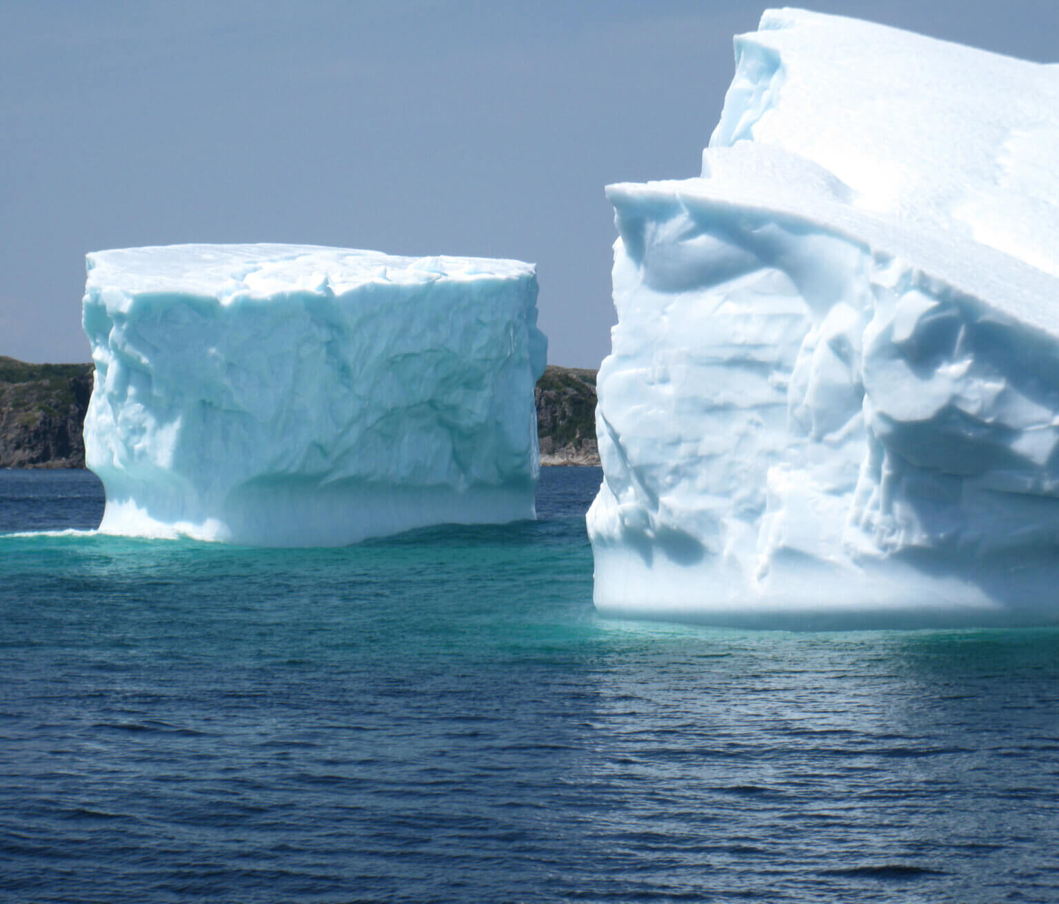
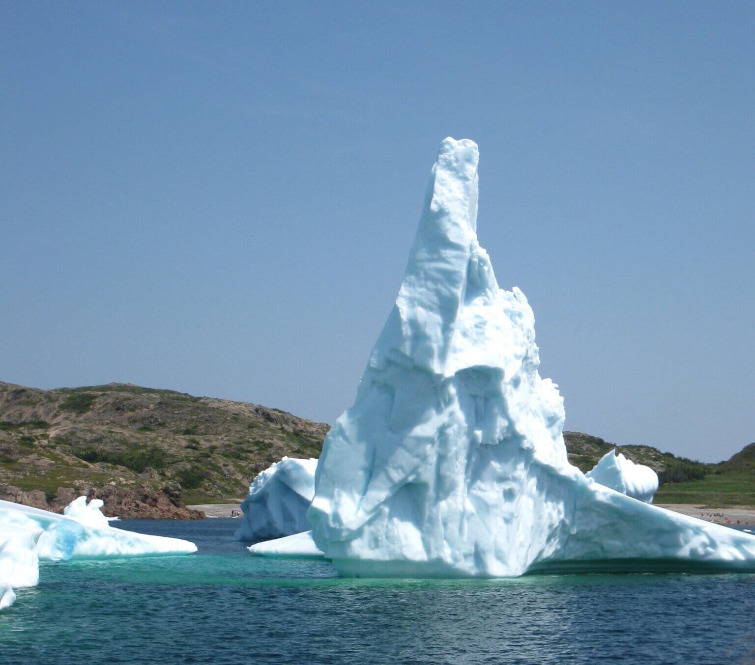
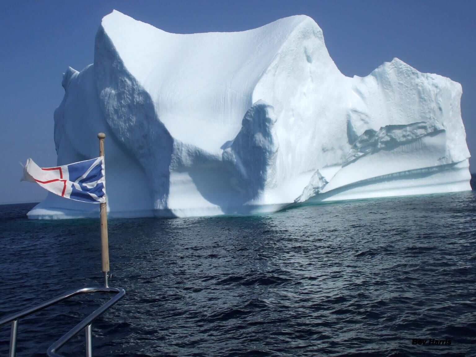
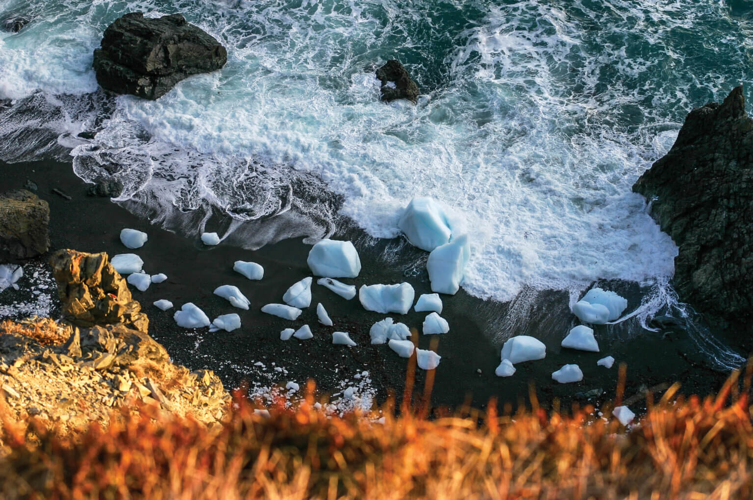
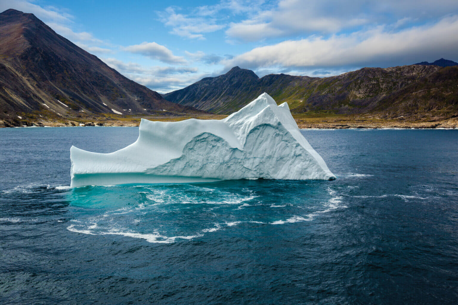
Scroll down for some photos of this natural phenomenon. All photos are courtesy of Newfoundland and Labrador Tourism.